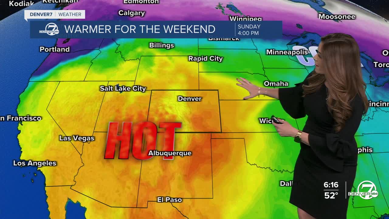


DENVER — After a brief break from the heat Friday, it makes a comeback this weekend. Warmer air and possibly more record-breaking heat return to Colorado Saturday and Sunday.
Look for a bit of light smoke along the Front Range this evening with a few high level clouds. Temperatures remain mild, only dropping into the mid 30s in the Denver metro area overnight.
We're in for another wave of smoke early Saturday morning then partly sunny skies through the afternoon. Daytime highs jump into the low 80s along the Interstate 25 corridor. Temperatures will be just a few degrees shy of the record Saturday. Denver's current record high is 79-degrees set in 1967 on Sunday, so the city could certainly break that record.
The weather pattern looks to switch up a bit by the middle of next week. The mountains could get a nice round of snow, while the Denver metro will pick up some rain showers starting Tuesday night continuing into Wednesday.
We're tracking another storm system moving in late next week into Easter weekend. Stay tuned as these storms get closer.
DENVER WEATHER LINKS: Hourly forecast | Radars | Traffic | Weather Page | 24/7 Weather Stream
Click here to watch the Denver7 live weather stream.
