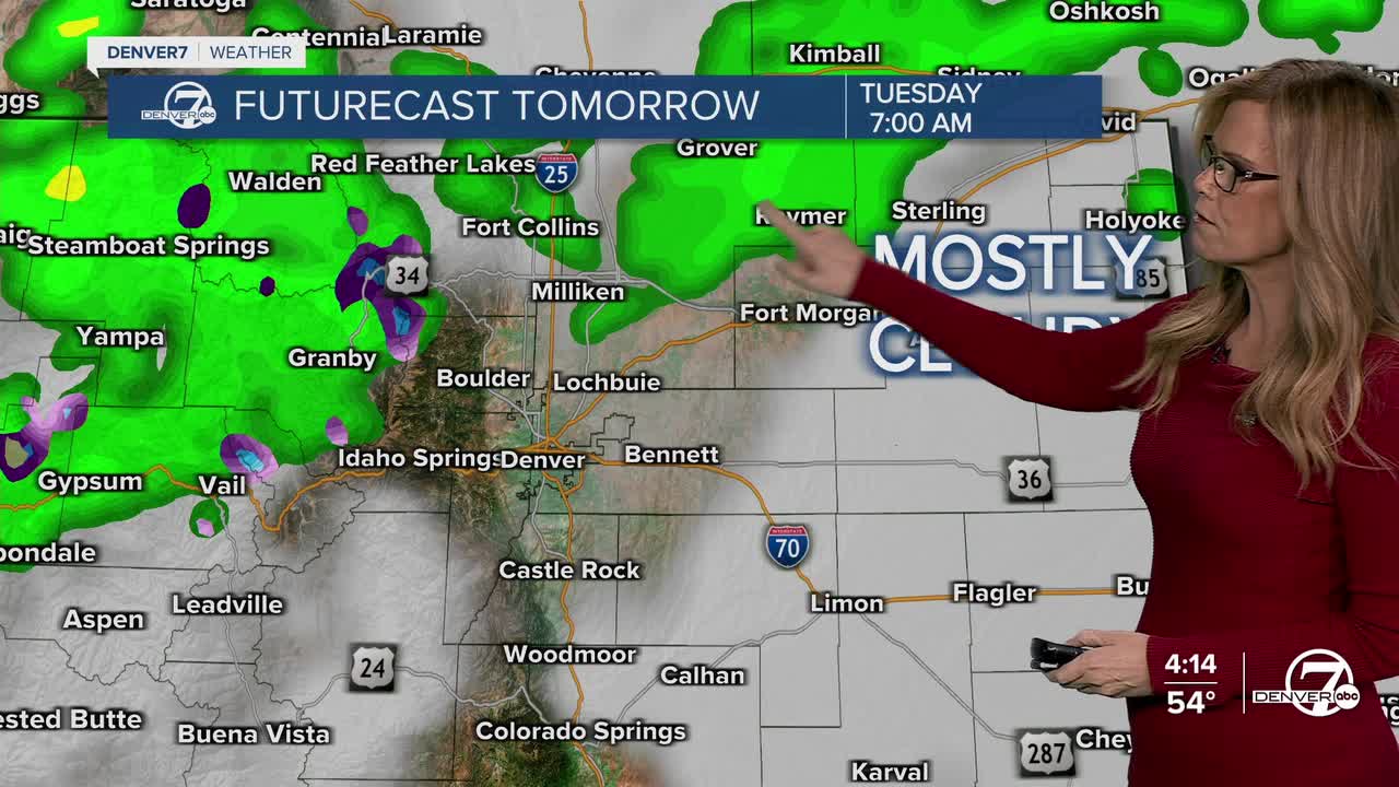


DENVER — Starting tonight, you can expect scattered rain showers across the plains, with a mix of rain and snow in the mountains as a weak weather system moves through. It won’t be a washout, but some areas might see brief, light precipitation. Things should start clearing out overnight, setting us up for a much drier Tuesday.
Tuesday and Wednesday will feel more like fall in full swing, with temperatures climbing well above average. Highs should easily reach the mid to upper 70s across the plains, and a few spots might even touch the low 80s on Wednesday. Expect mostly sunny skies and dry weather as warm air continues to push in from the south.

Things start to shift later Wednesday into Thursday as another storm
system approaches from the west. This one brings a better chance for rain and snow, especially in the mountains. While it will still be fairly dry on the plains, there may be a few light showers around. It’ll be cold enough in the higher elevations for some light snow, though totals should remain minimal.
By Friday, that system lifts out, and we return to a warming and drying trend heading into the weekend. Saturday will be seasonable with near-normal temperatures and just a slight chance of light mountain snow in the far north. Otherwise, skies will be clearing, and sunshine will dominate.
Sunday and Monday look even nicer, with high pressure building over the region and bringing another round of above-average temperatures. Looking beyond that, we’re watching a possible storm system early next week, which could bring cooler weather and another shot at rain or snow — but the details on that are still coming together.
DENVER WEATHER LINKS: Hourly forecast | Radars | Traffic | Weather Page | 24/7 Weather Stream
Click here to watch the Denver7 live weather stream.
