

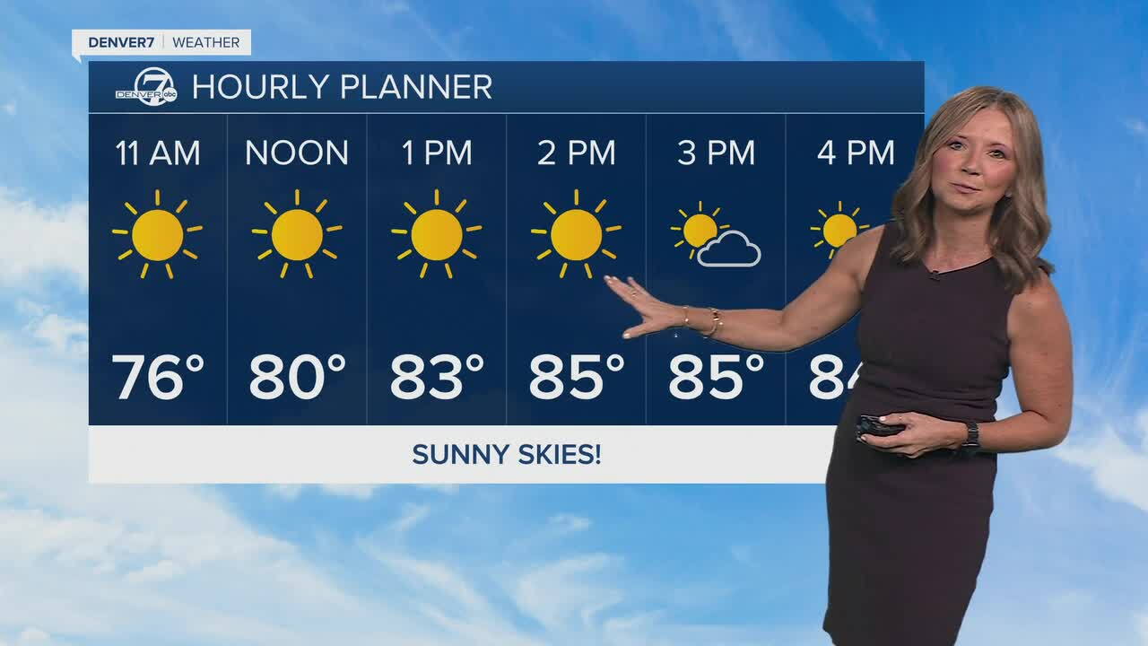


We started the week off with two back-to-back record tying highs this week and we could see another one today!
We're in for another mostly sunny day, with highs skyrocketing back into the mid-80s by early afternoon. The current record high for October 8th is 85-degrees, set back in 2020.
Rain chances will remain pretty limited, with most of the action staying in the mountains. There will be a noticeable change by Friday night and Saturday as winds aloft pick up and turn more southwesterly ahead of the next storm system developing in the West.
Saturday will be Denver's last 80-degree day in the current streak. We'll start to see a pattern shift this weekend, with temperatures dipping into the 70s on Sunday. It will be cooler, but still about 7 to 10 degrees above normal for the metro area.
A storm will dive into the Pacific Northwest Saturday, then drop south along the California coast Sunday and Monday. Temperatures will dip into the low 70s on Monday and we'll see some seasonal 60s by Tuesday.
Some even cooler weather will settle in by the middle of next week. Another storm is expected to move into the Pacific Northwest and eventually absorb the first system, bringing a more seasonable feel to Colorado. For now, enjoy the unusual October warmth while it lasts.
DENVER WEATHER LINKS: Hourly forecast | Radars | Traffic | Weather Page | 24/7 Weather Stream
Click here to watch the Denver7 live weather stream.
