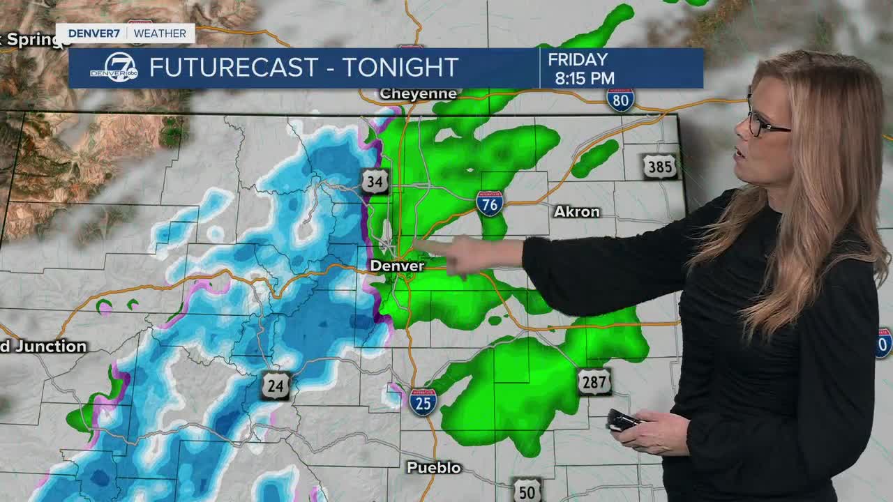


DENVER — Tonight, we’re tracking a quick burst of winter weather in the mountains. Snow will continue through the evening, especially along the I-70 mountain corridor. Travel will get tricky for a few hours, with periods of moderate to heavy snow and totals around 4 to 8 inches by early Saturday. If you’re heading up into the high country this evening, plan for winter driving conditions. Leave extra early on Saturday morning if you're looking to ski the fresh powder. Meanwhile, across the plains, it’s a much different story with light rain moving in. Some areas could see a decent soaking, but temperatures will stay warm enough to keep it mainly rain outside of the higher foothills.

By early Saturday morning, the showers will wind down and move out to the east. Clouds will gradually break up, and we’ll start drying out. Saturday afternoon looks fairly mild, similar to today, and much quieter compared to tonight’s mountain snow.

As we head into Sunday and early next week, a big warm-up settles in. High pressure builds over the region, which basically acts like a lid on storm systems and keeps us dry and sunny. Temperatures on the plains will climb well above normal, reaching into the mid to upper 60s by Sunday and Monday. It’s going to feel more like early spring than mid-February.

But with that warm and dry weather comes a growing fire danger. Starting Sunday, places like South Park will see very dry air, and that elevated fire risk will begin spreading across the plains. By Monday, gusty southwest winds and very low humidity will combine to create critical fire weather conditions in several areas. A Fire Weather Watch has been issued for both Monday and Tuesday for the Front Range and the plains.
Tuesday is the day we’re watching very closely. Strong winds will develop across the plains and foothills, possibly reaching damaging levels in spots, while humidity stays very low. That combination could lead to significant to even extreme fire danger. The mountains may pick up another round of light snow that day, but for lower elevations, the main concern will be wind and fire weather through at least midweek.
DENVER WEATHER LINKS: Hourly forecast | Radars | Traffic | Weather Page | 24/7 Weather Stream
Click here to watch the Denver7 live weather stream.
