

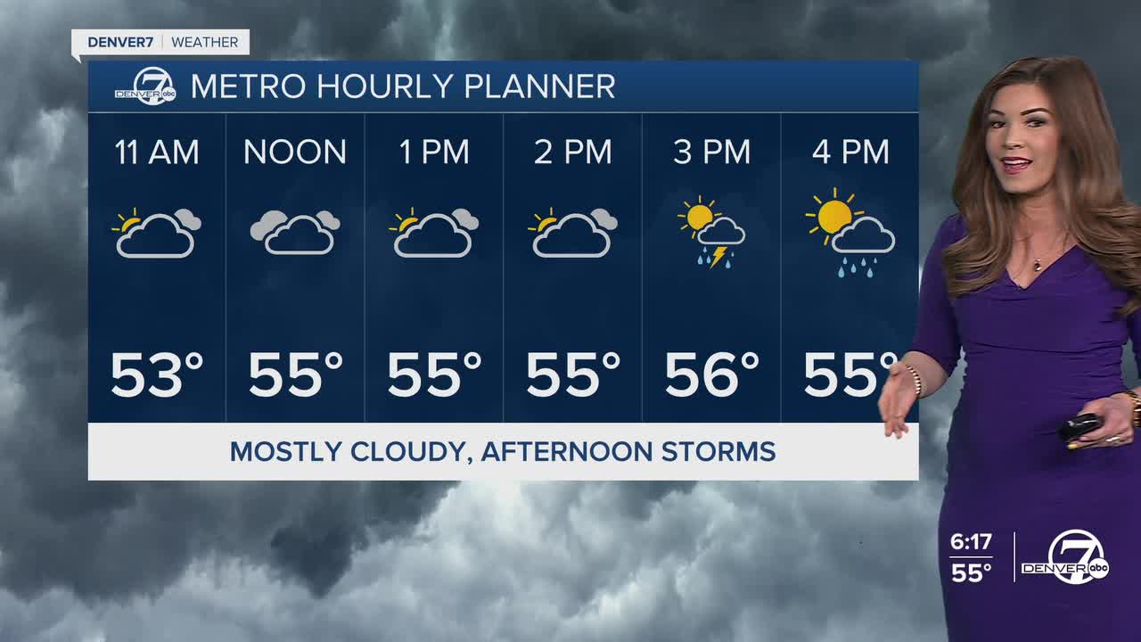


DENVER — The April showers are finally in full swing! The cool, soggy weather pattern will remain in place through the end of the week.
Look for a few isolated showers this evening across the Urban Corridor. Mostly cloudy skies will remain in place overnight as lows drop into the mid 30s.
We'll see a better chance of afternoon rain and thunderstorms on Wednesday. Wednesday will be the warmest day of the week, with highs in the upper 50s to low 60s around the Denver metro area.
A stronger system along with a cold front move in Thursday morning, ushering snow to the mountains and more widespread rain to the plains. Thursday will be the coldest and rainiest day of the week with highs in the mid to upper 40s. So far, it looks like the city could pick up about a half inch of rain Thursday with showers lingering overnight into Friday morning. Some areas close to the Palmer Divide could see a few snowflakes mixing in with the rain.
As that system clears out, sunshine and warmer weather move back in for the first weekend of May. Look for highs in the upper 60s Saturday with mid 70s on tap Sunday.
The more seasonal weather sticks around into early next week.
DENVER WEATHER LINKS: Hourly forecast | Radars | Traffic | Weather Page | 24/7 Weather Stream
Click here to watch the Denver7 live weather stream.
