


DENVER — It's a quiet and pretty start to our Friday morning. We'll see a few damp roads after the overnight rain, but there will be plenty of sunshine for the commute.
- Watch the full forecast in the video player below.
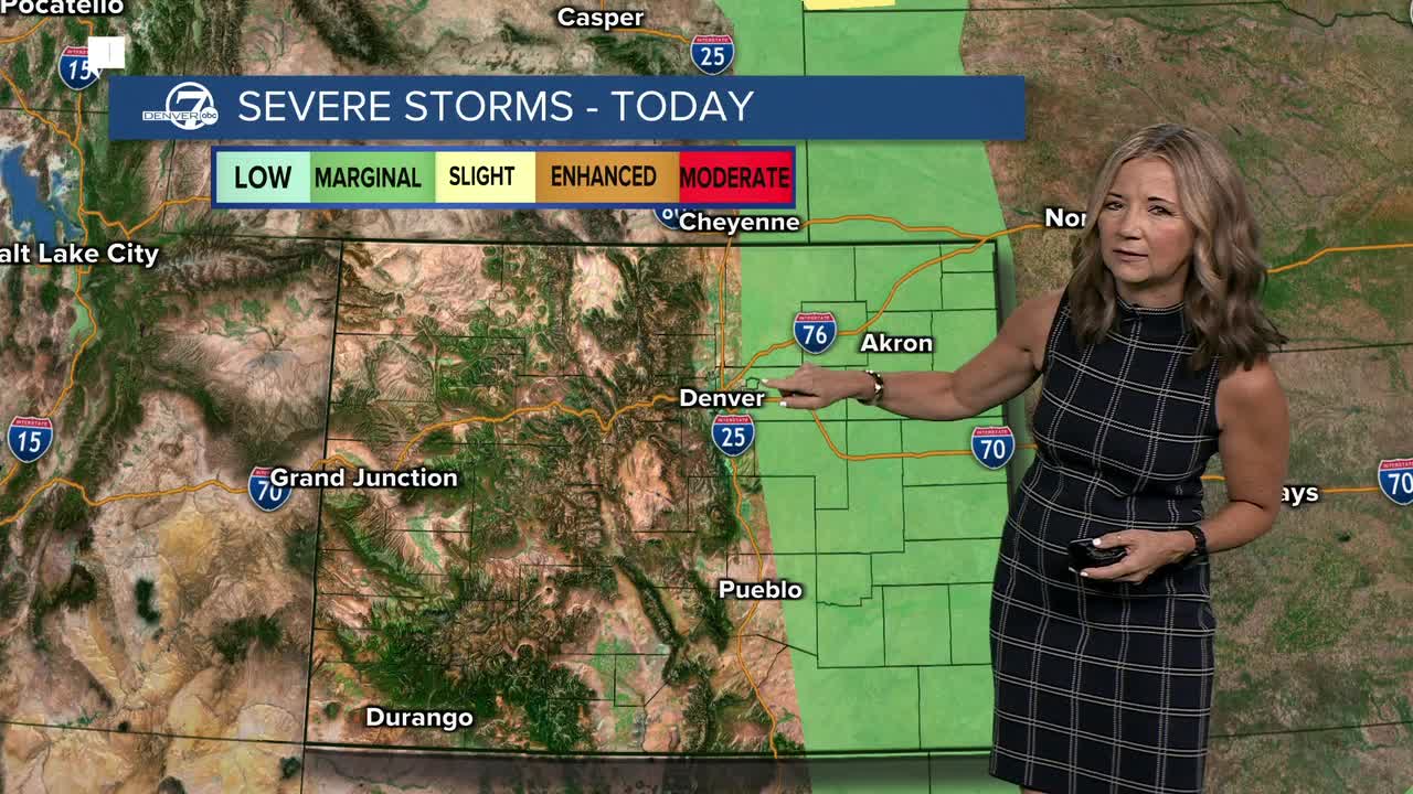
The atmosphere is now starting to dry out and while we'll still see some thunderstorms this afternoon, it will be more isolated across the Eastern Plains. A few storms will likely pop up near Denver around 1 p.m. and then roll east through mid-afternoon. There is a marginal risk that a few of these could produce some larger hail and gusty winds.
Temperatures will return to near normal, with high temperatures s in the mid to upper 80s along the Front Range and 60s to low 70s in the central mountains.
It gets quite a bit hotter and drier this weekend. Saturday will feature lots of sunshine and temperatures will climb into the mid to upper 90s by early afternoon. Saturday will likely be the hottest day of the year so far in Denver.
The winds will pick up this weekend and that will lead to some elevated fire danger across the state, especially across the high country and Western Slope. A red flag warning goes into effect at 11 a.m. on Saturday for those areas and remains in effect until late Saturday night. We'll see wind gusts up to 50 mph and relative humidity dropping down below 10%,
Temperatures will hover right around 90 degrees through the first of next week, with more sunshine and mainly dry conditions.
DENVER WEATHER LINKS: Hourly forecast | Radars | Traffic | Weather Page | 24/7 Weather Stream
Click here to watch the Denver7 live weather stream.
