


DENVER — Drink it in, Colorado! Much-needed, monsoon rain showers are moving across the state tonight and will continue through the rest of the work week.
Heavy rain and storms are likely throughout the rest of the evening along the Front Range, Interstate 25 corridor, and across the plains. There's some flash flooding concerns as these storms are slow-movers and are dropping a lot of water in a relatively short amount of time.
Storms will gradually move out after midnight but the clouds and fog will linger into early Wednesday morning. Look for lows to dip into the upper 50s overnight.
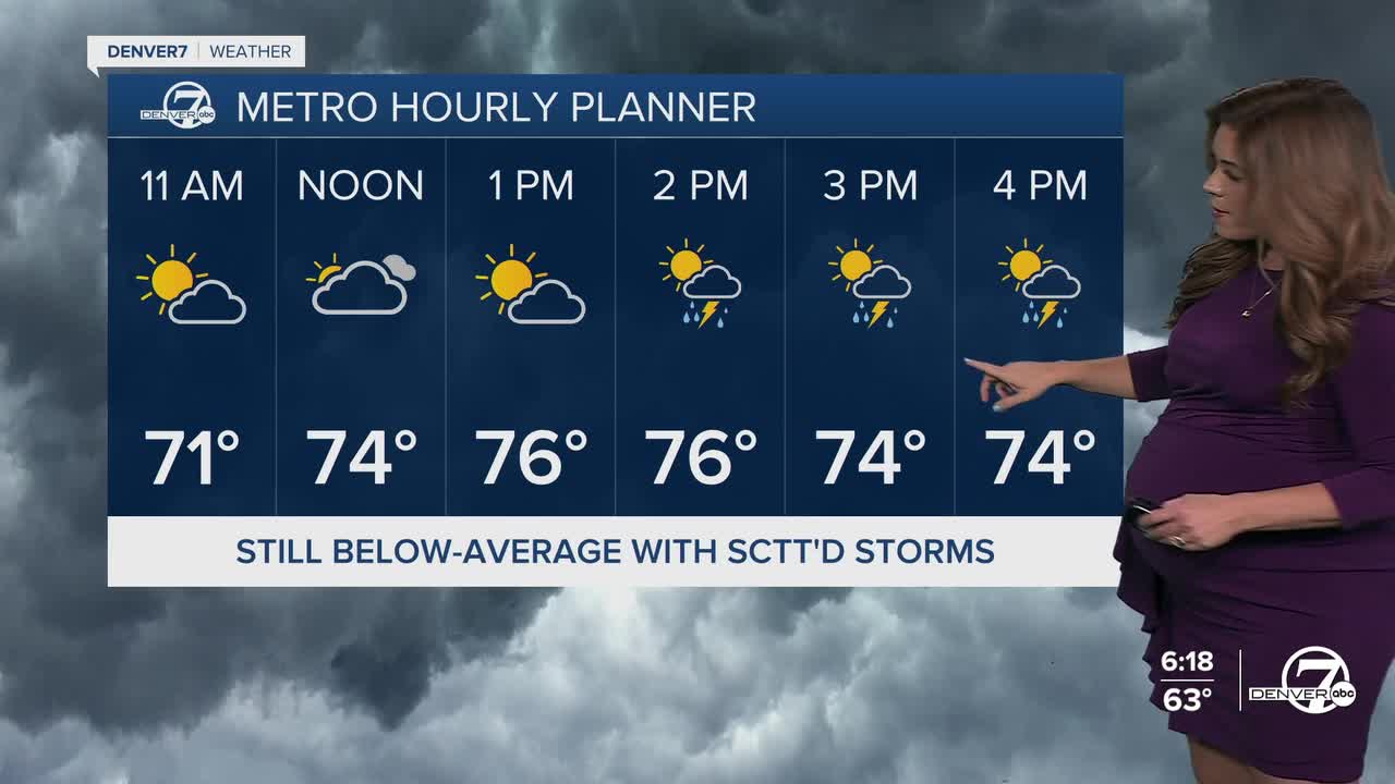
It'll be a cool and cloudy start to your Wednesday with a glimpse of sunshine midday. Storms will fire up and race across the Denver metro area starting around 2pm to 3pm. Heavy rain, lightning, thunder and strong wind gusts will be the biggest threats with these storms.
This active weather pattern will remain in place all week long. The atmosphere will be very moist, which means any storms that do develop could drop heavy rain again. Temperatures will also remain well below normal. We'll see highs in the upper 70s to low 80s through Friday.
Warmer and drier weather returns for Labor Day weekend. We'll see fewer storms and temperatures will be back the low to mid-80s by Monday! It will also be a bit drier and warmer for those heading up to the mountains to go camping for the holiday weekend.
DENVER WEATHER LINKS: Hourly forecast | Radars | Traffic | Weather Page | 24/7 Weather Stream
Click here to watch the Denver7 live weather stream.
