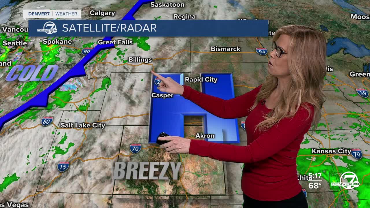


DENVER — Starting tonight, clouds will move in across Colorado as a weather system approaches from the west. Light winds will bring some moisture into the eastern plains, so fog is likely to form overnight—especially east of Limon and Sterling. A bit of fog could also settle into mountain valleys around Grand County early Sunday morning before clearing out.
Sunday will start off mostly dry, but clouds will keep increasing through the day. By Sunday night, snow will begin falling in the northern mountains as the storm system moves closer. Places like Rabbit Ears Pass (Steamboat Springs) and Cameron Pass could get slippery late Sunday night into Monday morning, with a few inches of snow expected in the higher mountains.
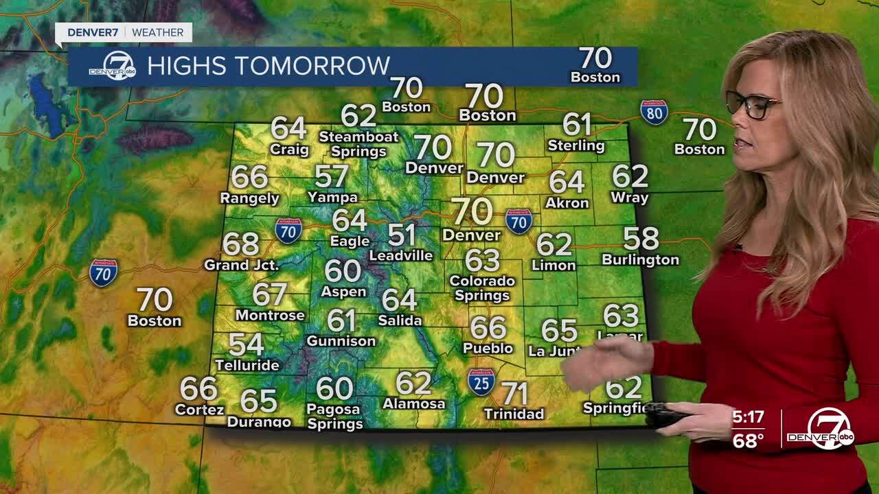
Monday will be windy and cooler across much of the state. Strong gusts will pick up in the foothills and spread across the plains during the morning and afternoon. Highs will be in the upper 50s to low 60s, but it’ll feel cooler because of the wind. A few rain showers might pop up on the far eastern plains later in the day, though most areas will stay dry.
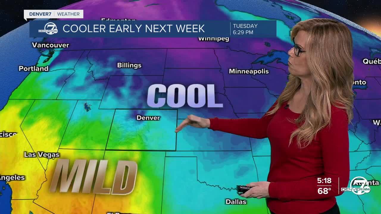
By Tuesday, the storm will move off to the east, bringing in colder air and gusty north winds. Highs will drop into the upper 40s to low 50s, and the day will be dry but chilly.
The rest of the week looks great. From Wednesday through Friday, the weather should stay dry with near-normal temperatures in the upper 50s to low 60s. By next weekend, things will warm up again with sunshine and highs in the mid-60s to low 70s, perfect for spending some time outdoors.
DENVER WEATHER LINKS: Hourly forecast | Radars | Traffic | Weather Page | 24/7 Weather Stream
Click here to watch the Denver7 live weather stream.
