


DENVER — Here we go again! Fierce winds, low humidity and hot temps will elevate fire danger across a good portion of the state again on Wednesday.
- Watch Danielle Grant's full forecast in the video player below.
A red flag warning is in effect Wednesday from noon until 8 p.m. for much of the Front Range, Denver metro and Eastern Plains. It's also in effect for much of the Western Slope. Wind gusts will be near 50 mph, so if anything sparks, it could spread a fire very fast.
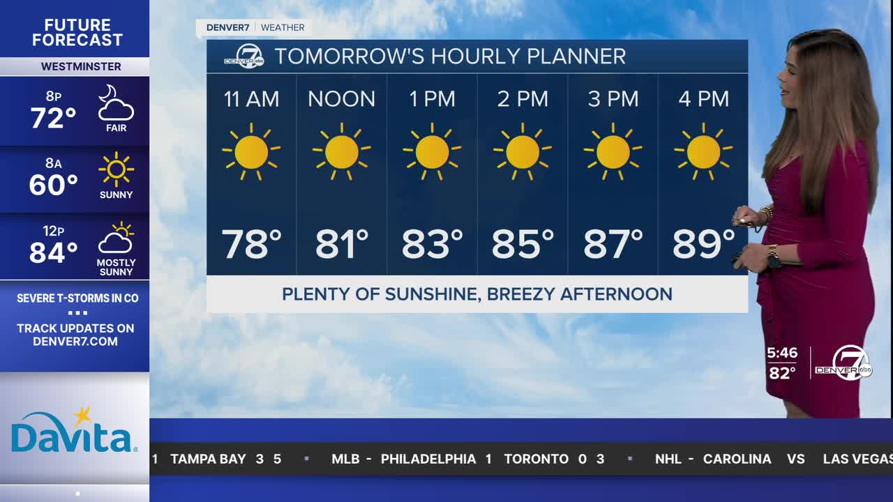
Daytime highs will be warm again, in the upper 80s to low 90s Wednesday afternoon. A cold front arriving Wednesday night will usher in temperatures closer to normal.
Thursday offers a brief relief from the heat with more seasonal temperatures. We'll see highs in the upper 70s to lower 80s on Thursday. The sunny, dry and hot conditions return Friday as highs soar into the lower 90s.
It'll be a warm start to the weekend with highs in the upper 80s Saturday with a few storms possible late that night. A strong cold front will race into Colorado, dropping temperatures into the upper 60s to low 70s Sunday. It'll help to bring mostly cloudy skies and scattered afternoon and evening storms Sunday.
A few storms could pop up again next Monday, as highs stay well below-average for this time of the year. We'll head back into the mid to upper 70s under partly sunny skies Tuesday.
DENVER WEATHER LINKS: Hourly forecast | Radars | Traffic | Weather Page | 24/7 Weather Stream
Click here to watch the Denver7 live weather stream.
