


DENVER — After highs in the mid 60s Sunday, it will be even warmer for Monday with highs in the low to mid 70s. Skies will remain mostly clear tonight with overnight lows in the 30s.

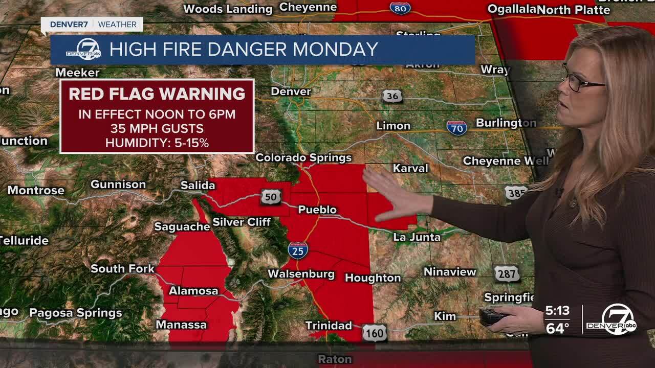
Monday will be warm and dry with temperatures climbing into the low to mid 70s across the plains. Snow that fell recently will continue melting quickly thanks to the warmer air and strong March sunshine. Winds will also increase through the day, especially during the afternoon. With the warming temperatures and drying conditions, a few spots could start to see elevated fire weather concerns.
The warm pattern continues Tuesday, although temperatures may vary a bit depending on location. Northern parts of the plains may stay cooler, with highs in the upper 50s, while other areas warm into the 60s or even low 70s. Clouds will slowly increase as the day goes on. A cold front is expected to move through during the evening.
Tuesday night into early Wednesday brings the next small chance for precipitation. Moisture with this system looks limited, so any precipitation will likely be light. The mountains could see some light snow, while the plains might only pick up a few sprinkles or a brief rain shower, with the best chance closer to the Wyoming border.
After that, the rest of the week turns windy, warm, and very dry again. Stronger winds are possible Thursday and Friday, and temperatures will likely return to the upper 60s and 70s. With dry air and gusty winds, fire weather concerns will likely increase across the region through the end of the week and into next weekend.
DENVER WEATHER LINKS: Hourly forecast | Radars | Traffic | Weather Page | 24/7 Weather Stream
Click here to watch the Denver7 live weather stream.
