


DENVER — Get ready, Colorado — winter is finally knocking on our door.
After a mild stretch, a big change arrives Friday night, bringing colder temperatures and light snow.
Friday starts off quietly with highs in the upper 50s to low 60s around Denver, and the plains stay dry through the day.

However moisture will increase, and snow showers will begin overnight.
We can expect wind gusts near 50 mph at higher elevations.
If you’re traveling into the high country for the holiday weekend, conditions will start deteriorating after sunset.
A strong cold front is expected to drop into northern Colorado sometime Friday night.
Once it sweeps through, temperatures fall fast — and so does some light snow.

Here’s what to expect:
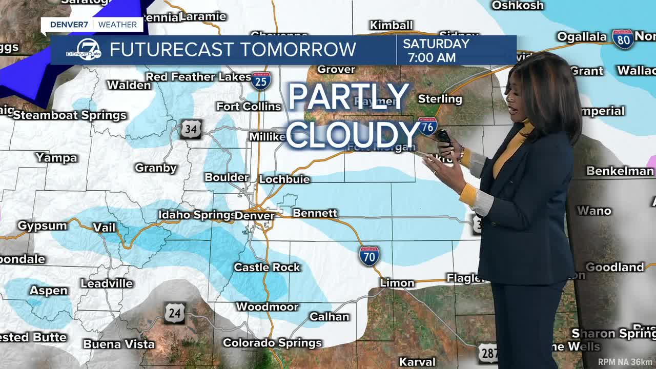
- Light snow and flurries develop along the Interstate 25 corridor and across the plains late Friday night into early Saturday.
- Some parts of the metro will see a dusting to maybe 1 inch. It's not a big storm, but enough for slick spots early Saturday morning.
- The mountains could have up to 9 inches of snow, especially in the northern mountains, where travel conditions could be tough overnight. A Winter Weather Advisory is in place from 5 p.m. Friday through 8 a.m. Saturday.

Behind the front, it brings afternoon highs only in the upper 20s to mid 30s.
Good news, any icy spots will melt by late morning thanks to the sunshine, leaving roads to improve quickly once the sun is up.
Another system moves in from the Pacific Northwest, bringing more mountain snow, starting late morning or early afternoon.
DENVER WEATHER LINKS: Hourly forecast | Radars | Traffic | Weather Page | 24/7 Weather Stream
Click here to watch the Denver7 live weather stream.
