


Brief relief from the heat is on the way! A dry cold front will roll through late tonight and that will usher in some cooler weather for Thursday.
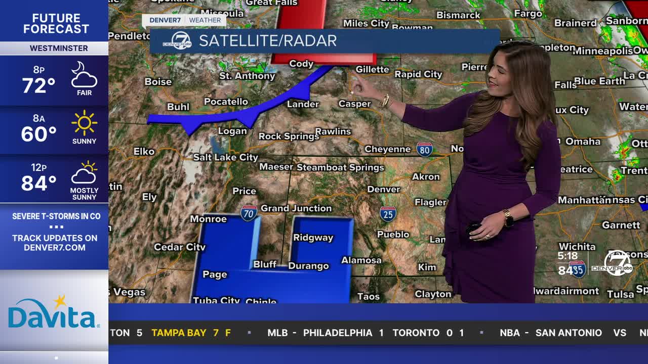
Watch Danielle Grant's full forecast in the video below.
We'll see plenty of sunshine and seasonal highs tomorrow, with temperatures near 80 degrees by 4 p.m.
A red flag warning will be in effect for parts of southern Colorado from 10am to 8pm Thursday. Wind gusts will be near 50 mph, so if anything sparks, it could spread a fire very fast.
The sunny, hot and dry conditions return to the Denver metro area Friday as highs soar into the upper 80s to low 90s. Fire danger concerns will once again ramp up, especially along the Western Slope. A fire weather watch will go into effect Friday for much of the western slope as temperatures jump back into above-average territory.
It'll be a warm start to the weekend with highs in the upper 80s Saturday with a few storms possible late that night. A strong cold front will race into Colorado, dropping temperatures into the upper 60s to low 70s Sunday. It'll help to bring mostly cloudy skies and widespread afternoon and evening storms Sunday.
A few storms could pop up again next Monday, as highs stay well below-average for this time of the year. We'll head back into the lower 80s under partly sunny skies Tuesday with 90-degree heat Wednesday.
DENVER WEATHER LINKS: Hourly forecast | Radars | Traffic | Weather Page | 24/7 Weather Stream
Click here to watch the Denver7 live weather stream.
