

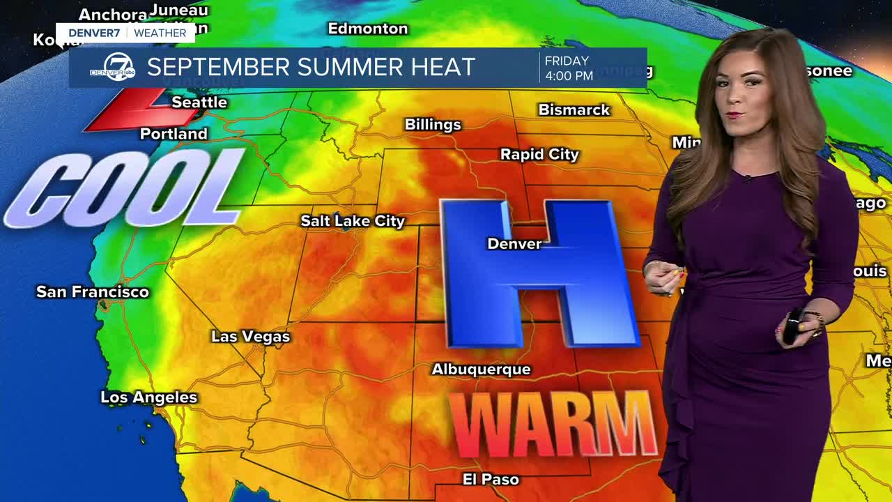


DENVER — It was a September scorcher as highs soared into the lower 90s this afternoon! Today was the first of several more days with above-average heat. In fact, Denver International Airport hit 60 days of 90+ degree days this season, putting us in 6th place for the most 90+ degree days ever recorded in a year.
We're in for mostly clear skies across the state tonight as lows dip into the upper 50s to low 60s overnight along the Front Range.
It'll be another scorcher on Friday as highs jump into the low to mid 90s across the Denver metro area by the afternoon. Temperatures will inch closer to 100-degrees along the Eastern Plains as we sit under mostly sunny skies.
There will be a slight shift in our upper-level winds that will help to pull some moisture back into Colorado. That means a few showers and storms will return, mainly in the mountains and especially along and south of I-70. A couple of those showers could drift onto the nearby plains late in the day, but they should weaken as they move east.
That moisture sticks around Saturday, keeping storm chances mostly isolated. The mountains will have the better chance of seeing a shower or storm, while the plains stay largely dry. Otherwise, look for another day in the low 90s around the Denver metro area.
We're looking at more active weather across the state on Sunday and Monday. A subtle change in the ridge will bring more of a southeasterly flow, pulling just enough low-level moisture into the area to increase instability. That should lead to more scattered afternoon and evening showers and thunderstorms, including the Denver metro and eastern plains.
Despite the increase in storm chances, temperatures won’t change much. We’ll stay warmer than normal, with highs running about 5 to 10 degrees above average. Monday will drop back into the upper 80s under partly cloudy skies.
Looking beyond Monday, there’s more uncertainty in the forecast, but the big picture doesn’t change much. High pressure should remain in control across the central Plains, while low pressure to our west keeps southwesterly to westerly winds over Colorado. That favors above-average temperatures continuing through much of next week, with at least isolated to scattered showers and storms possible most days — especially in the mountains, with more uncertainty about exactly which days will be the most active.
DENVER WEATHER LINKS: Hourly forecast | Radars | Traffic | Weather Page | 24/7 Weather Stream
Click here to watch the Denver7 live weather stream.
