


DENVER — It was a very warm Wednesday afternoon across the Denver metro area as daytime highs soared into the lower 90s for the first time in 20 days!
Look for continued scattered storms across Colorado's High Country overnight. Storms move out of the Front Range after midnight leaving mostly cloudy skies in their wake. Overnight lows will dip into the upper 50s to lower 60s by Thursday morning.
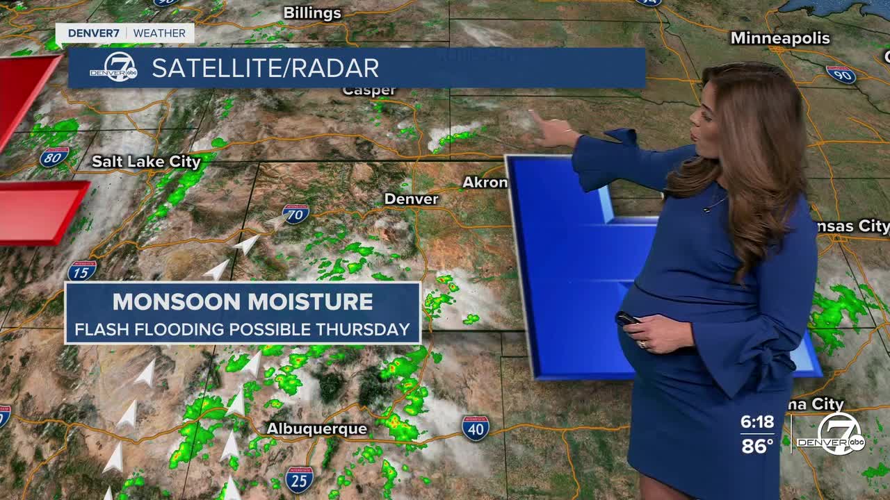
It'll be a partly sunny start to your Thursday with another warm afternoon on the way. Highs will top off in the mid to upper 80s with increasing clouds after the lunch hour. A few isolated storms may roll off the foothills and onto the plains during the afternoon and evening, but they'll be few and far between.
The monsoon moisture make a comeback for much of the Western Slope along with the central and southern mountains Thursday. A Flood Watch is in effect from 6am to midnight Thursday for the potential of flash flooding. Some areas could see one to two inches of rain from slow-moving thunderstorms.
Another system rolls into the state Friday, bringing cooler temperatures, cloudy skies and another round of showers and thunderstorms. The Denver metro will see highs in the upper 70s to lower 80s to end to work week and kick off the weekend.
Storms linger Saturday afternoon and evening across the state with drier conditions on tap Sunday.
Look for warmer weather early next week along with a bit more sunshine!
DENVER WEATHER LINKS: Hourly forecast | Radars | Traffic | Weather Page | 24/7 Weather Stream
Click here to watch the Denver7 live weather stream.
