

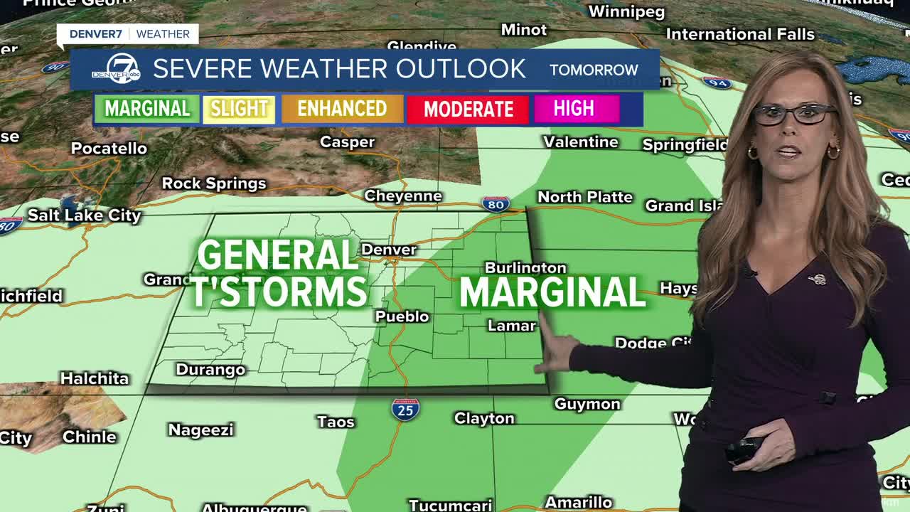


DENVER — Tonight, scattered showers and thunderstorms will continue, with a couple of strong to severe storms possible across the eastern plains later this evening. The main concerns with any stronger storms will be gusty winds and hail, while a cooler push of air moves through tonight.
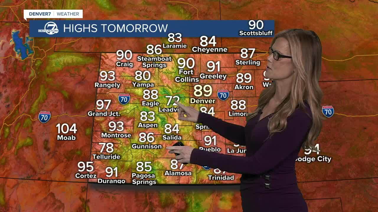
Wednesday looks a little quieter, with isolated storms possible mainly over the higher terrain. The better chance for stronger storms shifts farther south into southern and southeastern Colorado, while much of the Denver area and eastern plains stay fairly dry.
By Thursday and Friday, a warming and drying trend takes over. Temperatures should climb into the mid 90s across the plains, but this heat won’t be quite as intense as some of the hotter stretches earlier this month. A few afternoon showers or storms could still pop up over the mountains.
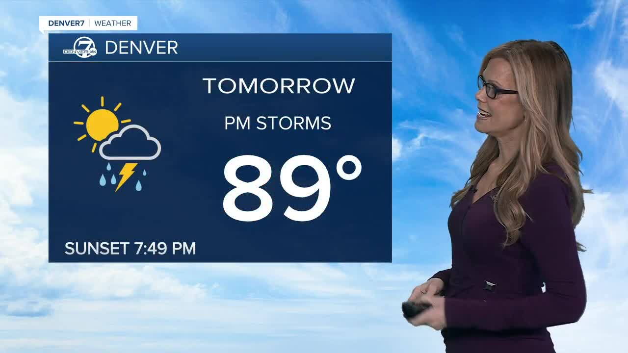
The warmer, drier pattern should continue into Saturday, with mostly dry conditions across the metro and plains. High country storms will remain possible, but overall rain chances look pretty limited through the weekend.
By Sunday into early next week, monsoon moisture may start working back into the region. That could bring better chances for showers and thunderstorms across the area, although the exact timing is still a little uncertain. For now, the overall trend is storms tonight, quieter weather midweek, then a warmer and drier stretch before moisture returns.
DENVER WEATHER LINKS: Hourly forecast | Radars | Traffic | Weather Page | 24/7 Weather Stream
Click here to watch the Denver7 live weather stream.
