


Here we go again! Strong storms are rumbling across the Eastern Plains tonight, with a few lingering showers along the Front Range.
These storms move out around 9pm but some patchy fog will move in again overnight. It could slow your Wednesday morning with visibility less than a quarter of a mile in places along the I-25 and I-76 corridors.
Look for partly cloudy skies midday ahead of another round of storms. Temperatures will be a touch cooler Wednesday with highs in the mid-60s around the Denver metro area, with 50s in the foothills.
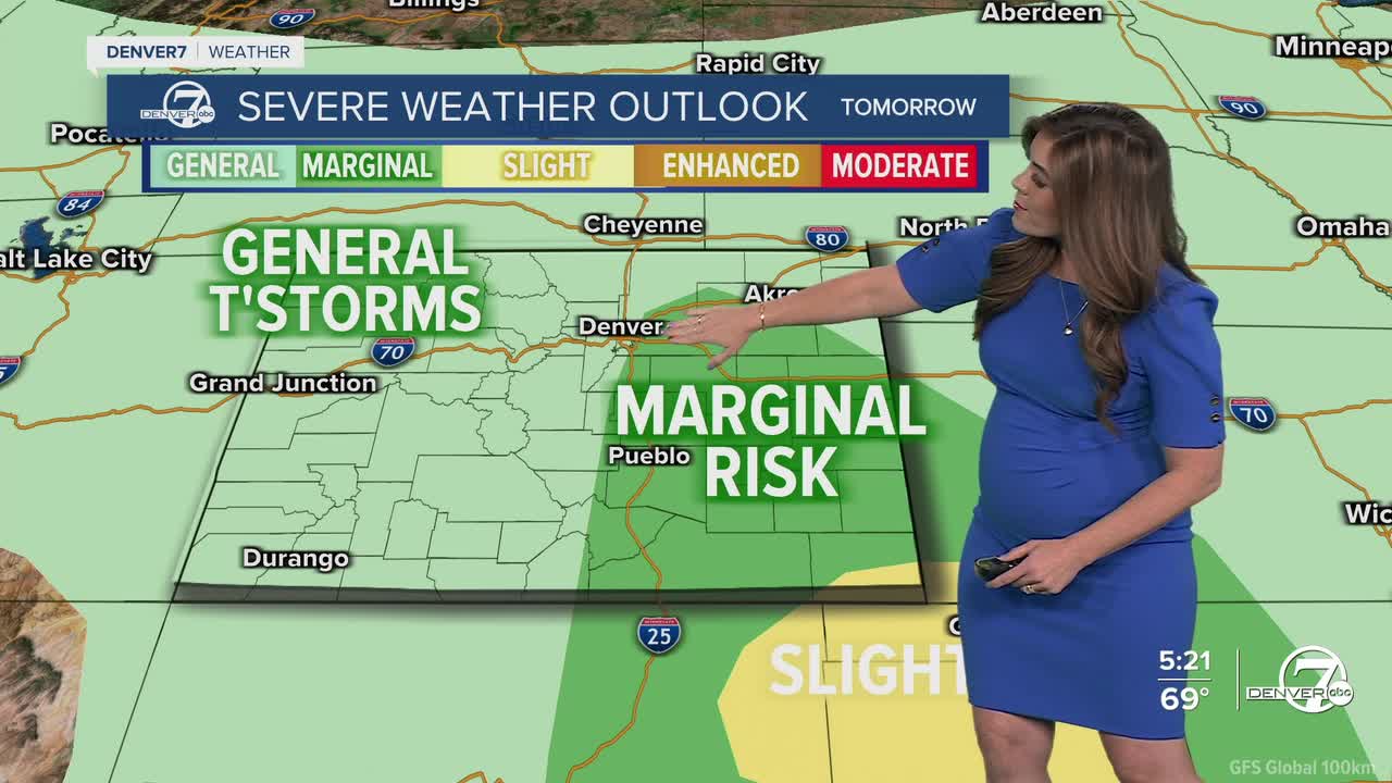
A cold front swings into the state, driving more storms across the region in the early afternoon. Some storms could pop up as early as 1pm in Denver Wednesday with heavy rain, lightning, thunder and even hail. There is another marginal risk of severe weather near Denver and across the eastern plains. It looks like the afternoon and evening remain unsettled with scattered storms through 10pm.
More spring storms make a comeback to the Front Range Thursday and possibly Friday. Daytime highs stay in the upper 60s Thursday with low 80s on tap Friday.
Warmer and drier weather return this weekend. It'll be a seasonal start to your Saturday with upper 70s and mid 80s Sunday. It looks like the 80+ degree heat sticks around into early next week.
DENVER WEATHER LINKS: Hourly forecast | Radars | Traffic | Weather Page | 24/7 Weather Stream
Click here to watch the Denver7 live weather stream.
