


DENVER — Finally! A quick switch-up in the weather pattern! Light snow showers are moving across Colorado's High Country, with a few scattered showers along the Front Range. Look for a light rain and snow mix this evening with some light accumulation along the Palmer Divide.
The system moves out overnight as skies will gradually clear by Wednesday morning. Lows will drop into the mid-20s.
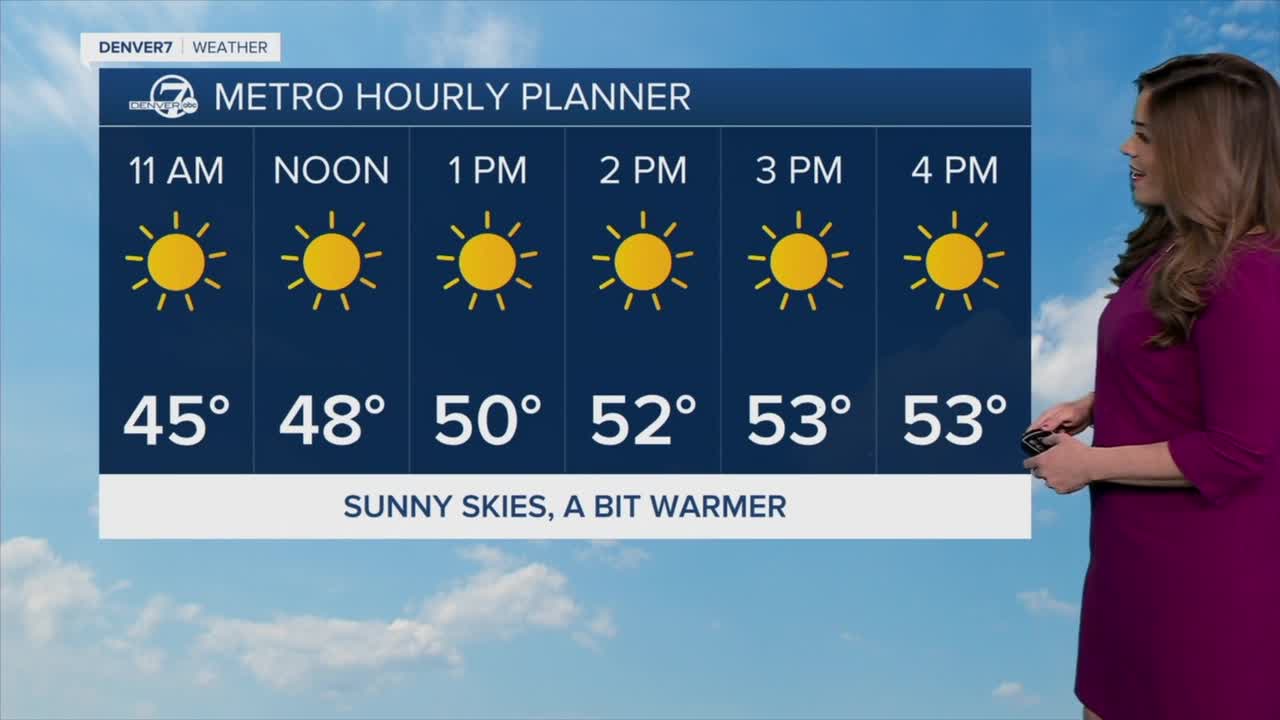
It'll be a sunny and dry Wednesday across Colorado with highs in the low 50s around the Urban Corridor and Eastern Plains.
Get ready for some more winter heat! A ridge of high pressure moves into Colorado Thursday, bringing dry conditions and well above-normal temperatures. Afternoon highs will reach the low to mid-60s through the weekend. Get outside and enjoy the warmth while it's here!
Next week, we’re expecting a shift as an upper-level trough could bring slightly cooler temperatures and the possibility of mountain snow. Stay tuned!
DENVER WEATHER LINKS: Hourly forecast | Radars | Traffic | Weather Page | 24/7 Weather Stream
Click here to watch the Denver7 live weather stream.
