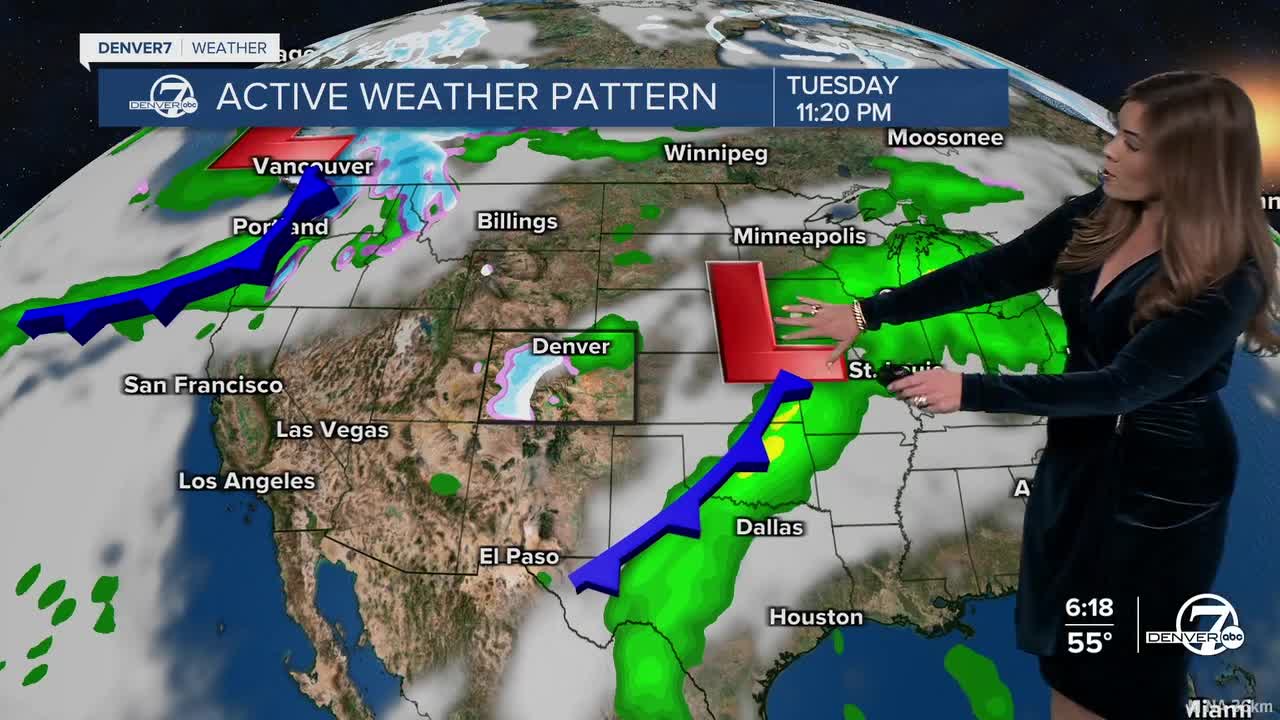


DENVER — It's been a much-needed snowy and soggy day across Colorado! Look for lingering showers this evening with most of the moisture moving out overnight. Look for partly cloudy skies in Denver after midnight with lows in the mid to upper 30s.
We'll get a break from the wet weather on Wednesday and Thursday, as highs return to the low to mid 70s in Denver under mostly sunny skies. The winds will kick up a bit Thursday, so fire danger will be high especially in southern Colorado.
Another, more powerful, system looks to move in toward the end of the week. This one looks to bring more widespread precipitation to the region, with heavy snow in the mountains and possibly a bit in the Denver metro. Snowfall amounts look fairly minimal, with less than 2 inches of slushy snow in the city by late Friday night. If we see the snow stack up, this would be Denver's first snowfall since mid-March, and the first of the month.
It looks like Friday's storm system will move out fast. Sunny skies and gradually warming temperatures return this weekend. Highs will climb to near 80-degrees early next week.
DENVER WEATHER LINKS: Hourly forecast | Radars | Traffic | Weather Page | 24/7 Weather Stream
Click here to watch the Denver7 live weather stream.