


DENVER — As we wind down the warmest March on record in Denver, it finally feels more like springtime than summer. Scattered rain showers will linger along the Urban Corridor Tuesday evening while the snow ramps up in intensity in the mountains overnight.
Look for mostly cloudy skies in the Denver metro overnight as lows dip into the mid to upper 30s.
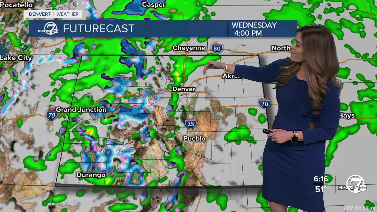
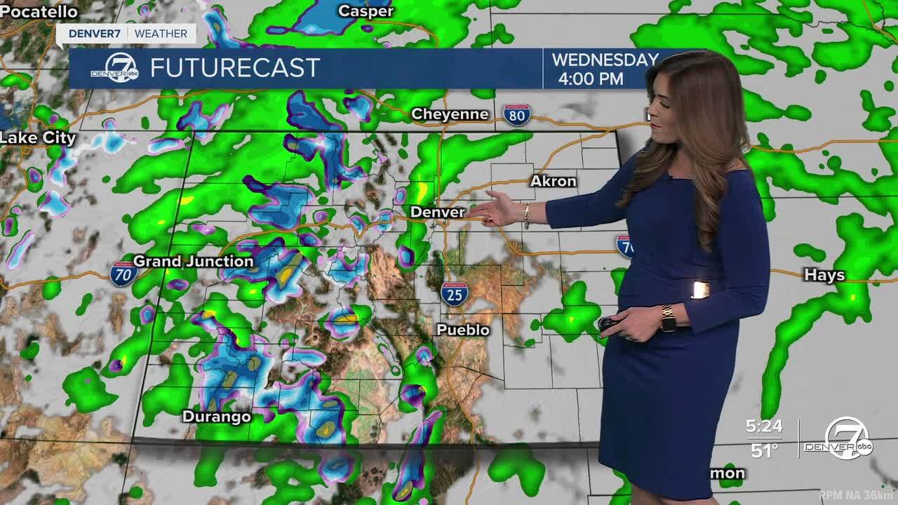
It'll be a mostly cloudy and cool start to your Wednesday along the Front Range. Daytime highs will warm into the mid to upper 50s, which is seasonal for this time of the year. Rain showers return to the Interstate 25 corridor Wednesday afternoon, so keep the umbrella with you!
Meanwhile, the snow and strong winds will continue to come down across Colorado's mountains Wednesday.
A Winter Weather Advisory is in effect for much of the High Country and will continue through 9pm Wednesday night. Most mountain areas above 9,000 feet will see 6 to 12 inches of new snow along with wind gusts up to 50 mph. That will make traveling treacherous across the mountain passes overnight into Wednesday.
Scattered showers will move onto the Eastern Plains Wednesday evening as the storm slowly moves out of the state.
Thursday will bring a brief break from wet weather, as warmer and drier air move back into Colorado. We're in for plenty of sunshine and highs in the low 70s in Denver before another storm system moves in Thursday night.
Temperatures will drop back into the mid 50s Friday under partly cloudy skies. This incoming system looks to stay a bit further to the north, mainly impacting the northern mountains. While Denver could be spared from any wet weather for the Rockies Home Opener, it does look like we can count on blustery winds and cooler temps out at Coors Field.
Warmer, drier weather moves in for Easter weekend.
DENVER WEATHER LINKS: Hourly forecast | Radars | Traffic | Weather Page | 24/7 Weather Stream
Click here to watch the Denver7 live weather stream.
