


DENVER — Here comes the sun and a whole lot of melting! Look for partly cloudy skies overnight as temperatures dip into the low to mid 30s.
It'll be a mostly sunny start to your St. Patrick's Day in the Denver metro. Daytime highs will climb into the low 70s Tuesday with some breezy conditions at times.
A Red Flag Warning will go in effect at 10am until 8pm Tuesday for northern Colorado. Wind gusts will be up to 45 mph with humidity values between 10 and 15 percent.
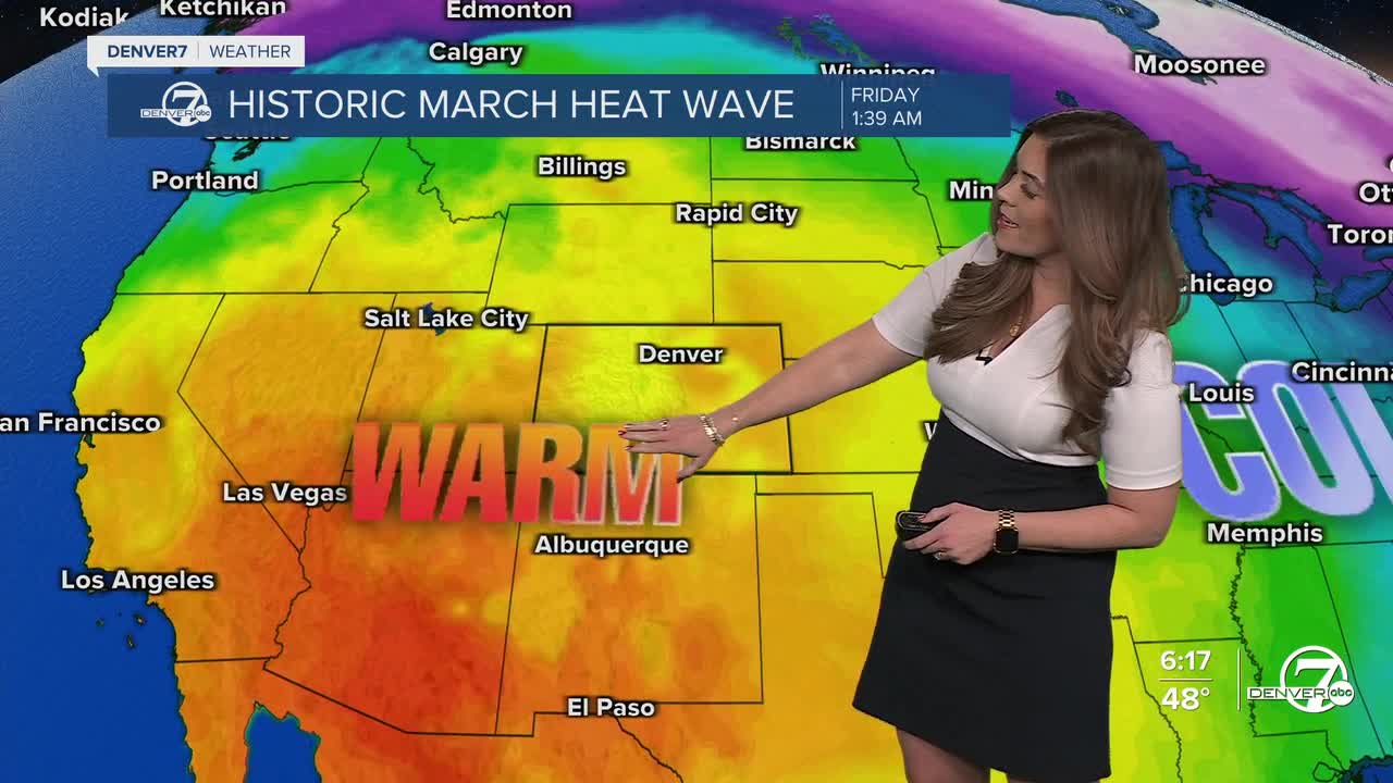
A huge dome of high pressure will move into the west, ushering in unprecedented warm temperatures for March. Highs will run about 30 degrees above the average.
Denver could see its first 80-degree day of the year on Wednesday. Typically, the city doesn't see 80-degree heat until late April. This historic heat wave will bring temperature into the low to mid 80s Thursday and Friday, which would easily break the current records.
So far, Saturday will be the hottest day of the stretch with highs in the upper 80s. The hottest March temperature is 84-degrees, set on March 26, 1971. It looks like that will be crushed Friday, if not Saturday.
Slightly cooler weather moves in Sunday with highs in the mid to upper 60s, which is still above-average for this time of the year.
DENVER WEATHER LINKS: Hourly forecast | Radars | Traffic | Weather Page | 24/7 Weather Stream
Click here to watch the Denver7 live weather stream.
