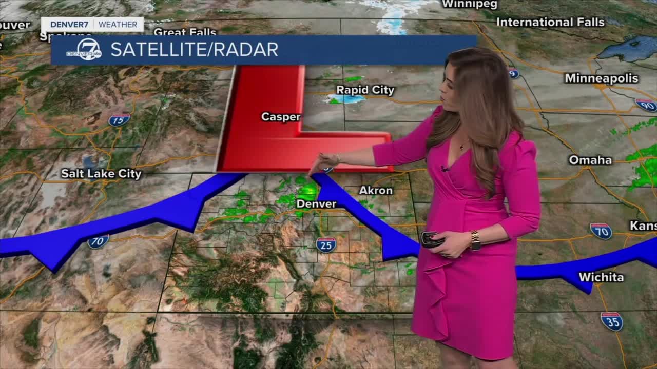


DENVER — Smoky skies will linger across the Front Range tonight as a cold front pushed in smoke from wildfires burning in Nebraska. It's also bringing a few scattered rain showers to the Denver metro along with some cooler temperatures too. Overnight lows will drop into the upper 20s to mid 30s by Friday morning.
It'll be a mostly cloudy, somewhat smoky and chilly start to your Friday. Daytime highs will be slightly below-average in the low to mid 50s around the Urban Corridor. Look for a little sunshine to peak out later in the afternoon.
Enjoy the brief break from the heat while it's here. Warmer air and possibly more record-breaking heat return just in time for the weekend. Highs will soar into the low 80s both Saturday and Sunday under partly sunny skies.
The weather pattern looks to switch up a bit by the middle of next week. The mountains could get a nice round of snow, while the Denver metro will pick up some rain showers Tuesday night into Wednesday.
We're tracking another storm system moving in late next week into Easter weekend. Stay tuned as these storms get closer.
DENVER WEATHER LINKS: Hourly forecast | Radars | Traffic | Weather Page | 24/7 Weather Stream
Click here to watch the Denver7 live weather stream.
