



DENVER — Tonight, there’s a chance for thunderstorms, mainly across the eastern plains. A few storms could become strong to severe, with hail being the main concern. Storms will develop after sunset and continue into the overnight hours before moving out of the state.
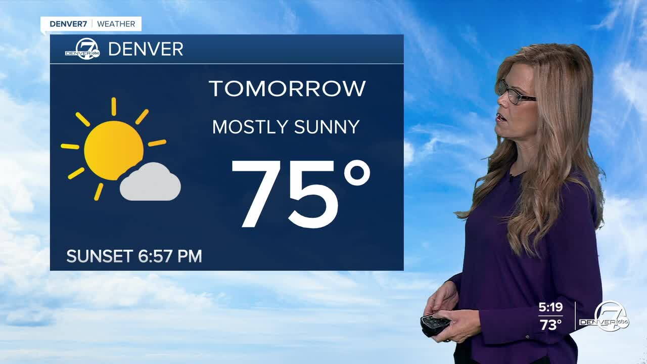
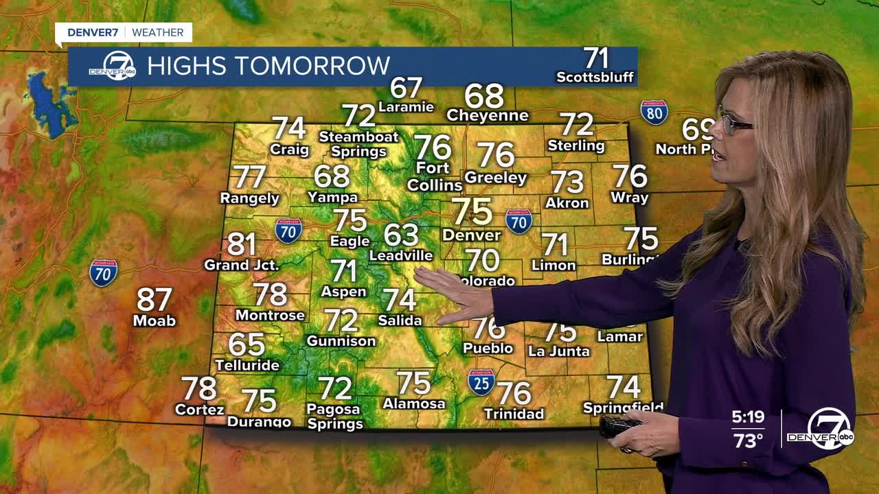
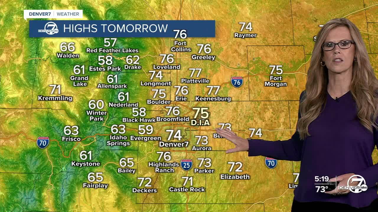
Monday looks cooler and quieter overall, with temperatures near normal and highs in the mid 70s across northeast Colorado. Shower and thunderstorm chances will be more limited, although a few showers or storms could develop Monday night mainly across the eastern plains.
By Tuesday, temperatures begin to warm back up, with highs in the mid-70s to lower 80s. The best chance for showers and thunderstorms looks to come Tuesday evening as another system moves through the region.
Wednesday will be a little warmer, with highs in the upper 70s to lower 80s. Rain and storm chances look fairly low, but a few showers or thunderstorms can’t be ruled out, especially with some extra moisture hanging around.
From Thursday into the weekend, temperatures should stay slightly above normal, with highs generally in the upper 70s to lower 80s. Storm chances will be highest in the mountains, but some storms could spread onto the plains as well. Overall, it looks like a gradual warm-up with occasional storm chances continuing through the weekend.
DENVER WEATHER LINKS: Hourly forecast | Radars | Traffic | Weather Page | 24/7 Weather Stream
Click here to watch the Denver7 live weather stream.
