


DENVER — Bundle up! The Arctic air is here, and will stick around through the weekend. A Cold Weather Advisory is in effect for Fort Collins, Greeley and the Eastern Plains through Sunday morning for wind chills around -20 degrees.
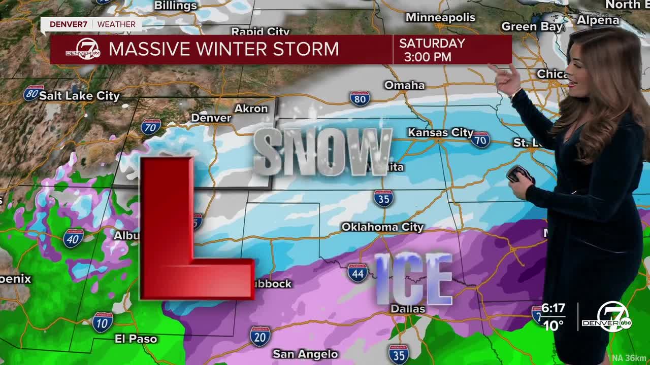
By Friday evening, we’ll start to see some light snow develop across the Eastern Plains, including the Interstate 25 corridor. This will be on and off and generally pretty light, but it could coat roads just enough to cause issues into Saturday morning.
Most lower-elevation spots should pick up around an inch, maybe two inches in a few isolated areas (Friday night into Saturday), so we’re not talking about a big snowstorm.
The mountains are a different story. Tonight and overnight, mountain roads, especially along and south of Interstate 70, will become slick and snow covered as pavement temperatures drop quickly. From Friday through Saturday, totals in the mountains will range from about 4 inches on the lower end to as much as 12 inches in the favored spots (southwestern mountains), making travel over passes slow and occasionally difficult. Winter Weather Advisories remain in effect for our central and southern mountains through Sunday morning.
Saturday will be the coldest day of the stretch. Highs on the plains will struggle to get out of the teens, and morning lows will dip into the low single digits or even below zero. Any snow that falls Friday night will stick around, so expect icy patches on roads all day, especially in shaded areas. Light snow may linger into Saturday morning before tapering off, but even after it ends, the cold will keep road conditions from improving much.
It'll be a frigid start to your Sunday, especially if you're out at Empower Field tailgating before the Broncos game! So far, it looks mostly cloudy for kickoff with temperatures in the upper teens to low 20s. There’s a chance for a few light snow showers after halftime, though nothing major looks likely. Bundle up if you are heading out to the game!
The deep freeze backs off by Monday, when temperatures are expected to rebound closer to normal, with highs back into the mid 40s for many spots along I-25. Most of next week looks quieter and drier, giving us a break after a very cold and wintry weekend.
DENVER WEATHER LINKS: Hourly forecast | Radars | Traffic | Weather Page | 24/7 Weather Stream
