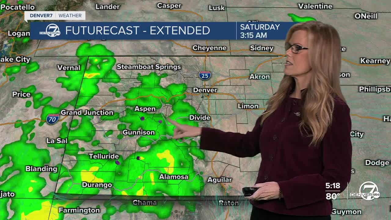


DENVER — Tonight, expect a few light showers mainly over the mountains as moisture continues to move into the western Colorado. Temperatures will remain mild overnight, continuing the above-normal trend we’ve seen lately.
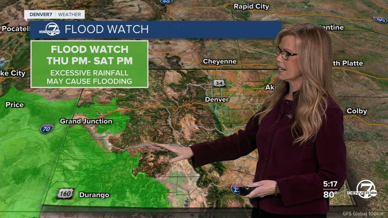
Friday and Saturday will bring some scattered showers and even a few isolated thunderstorms, especially in the mountains during the afternoon and evening hours. The moisture is coming in from the remnants of Hurricane Priscilla, though most of the heavier rain looks to stay to our southwest. If you're on the plains, you might see some light showers late Friday or early Saturday, but overall, rain chances there are lower.

Temperatures will remain warm through the weekend, running about 5 to 8 degrees above normal. Highs should land in the low to mid 70s for most areas, though some spots could briefly touch the upper 70s if the sun breaks through. Clouds will increase, which may keep temps from climbing too high. It’ll feel more like late summer than mid-October for now.
On Sunday, changes begin to take shape. A cold front will slide through the plains in the afternoon, bringing a dip in temperatures and a chance for showers. Winds could also pick up quite a bit, especially in the mountains where gusts could reach 50 mph. There’s also a slight chance for rain and snow in the higher elevations thanks to stronger westerly flow.
Heading into early next week, things get a bit more uncertain. There’s a chance for more showers and near-normal temperatures, but forecast confidence is low. Another weather system could move in from the Pacific, though models are still sorting out the details. If it stays west of us, we’ll likely see warmer-than-average weather continue.
DENVER WEATHER LINKS: Hourly forecast | Radars | Traffic | Weather Page | 24/7 Weather Stream
Click here to watch the Denver7 live weather stream.
