



It was a warm start to the week and that trend is going to continue today. Denver International Airport hit 87 degrees Monday afternoon, making it a record high tie and we could do it again today!
Today will feature a little increase in cloud cover, but it will still be well above normal with highs in the mid- to upper 80s. A few isolated showers will develop over the higher elevations during the afternoon, with only a small chance of a shower elsewhere. We could see a bit of virga around the Denver metro this afternoon, with gusty winds at times.
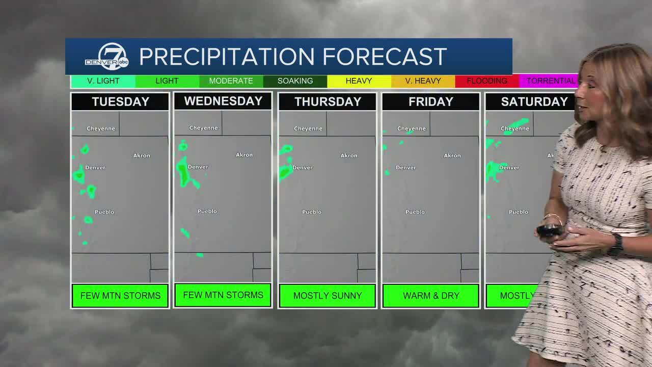
We are smack dab in the middle of what looks to be a 9-day streak of 80 degree heat! From Wednesday through Saturday, temperatures should ease back a few degrees but will still be about 10 to 15 degrees above normal. The mountains could see a few spotty afternoon showers each day, though most areas will stay dry and any rain will be very localized.
A weak front will dip our temperatures down into the mid-70s on Sunday, but that's still well above the normal high of 67 degrees.
By early next week, the pattern could change as a stronger system moves into the region. That may bring more widespread precipitation, especially to the mountains, along with a noticeable cool down, although the timing and strength of that change are still uncertain.
DENVER WEATHER LINKS: Hourly forecast | Radars | Traffic | Weather Page | 24/7 Weather Stream
Click here to watch the Denver7 live weather stream.
