


DENVER — We're in for a couple more days of below-average highs around the Denver metro area before another warm up arrives this weekend and into next week.
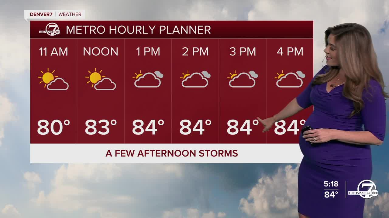
While most of the Denver metro area is done with storms tonight, they will continue to rumble across Northern Colorado and the Eastern Plains. Some storms could linger late into the night out east on the plains with flooding rains and lots of lightning.
As the storms move out, smoke from wildfires burning in Utah and Arizona will move into the state. Look for a blanket of dense smoke across the Front Range early Friday morning. Unfortunately, the smoke sticks around all day and could linger into the weekend. Temperatures will be a bit warmer in the upper 80s Friday afternoon along with a few isolated storms.
Looking ahead to the weekend, conditions are expected to dry out and warm up. With the ridge shifting directly overhead, highs will climb back into the 90s for the plains and Denver metro area, with fewer storms for the northeastern plains.
The dog days of summer hold on for the first full week of August as highs soar into the mid to upper 90s in the city!
DENVER WEATHER LINKS: Hourly forecast | Radars | Traffic | Weather Page | 24/7 Weather Stream
Click here to watch the Denver7 live weather stream.
