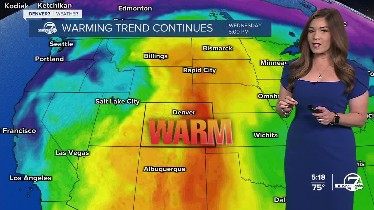


DENVER — Here comes the sun and April heat! Temperatures will keep climbing each day, so it'll feel more like early summer than spring, with highs running more than 20 degrees above normal.
Highs will push well into the 80s across lower elevations Tuesday and Wednesday, with mild conditions even in the mountains. There’s just a slight chance of a brief, light sprinkle in the mountains late Tuesday, but most places will stay dry with plenty of sunshine. By Wednesday, things get a bit more intense.
The winds will likely pick up by midweek ahead of our next cold front. A Red Flag Warning is in effect for much of the Front Range and Eastern Plains from 10am to midnight Wednesday. Not only will we have unprecedented high temperatures, but winds will gust up to 50mph with humidity values between 5 and 10 percent.
Our next cold front will roll through on Thursday dropping highs back into the low to mid 60s. Cooler, more unsettled weather moves in, bringing increasing chances for rain on the plains and snow in the mountains. It doesn’t look like a major storm, but rather off-and-on showers through the weekend, which would be a welcome change after such a warm and dry stretch. Sunday looks to be the soggiest day, so plan your weekend accordingly!
DENVER WEATHER LINKS: Hourly forecast | Radars | Traffic | Weather Page | 24/7 Weather Stream
Click here to watch the Denver7 live weather stream.
