


DENVER — Our first substantial snow for Colorado in 2026 continues into Friday. Icy, snow covered roads affecting Douglas county along I-25 with multiple cars sliding off the road. Expect more treacherous travel as we head toward sunrise.

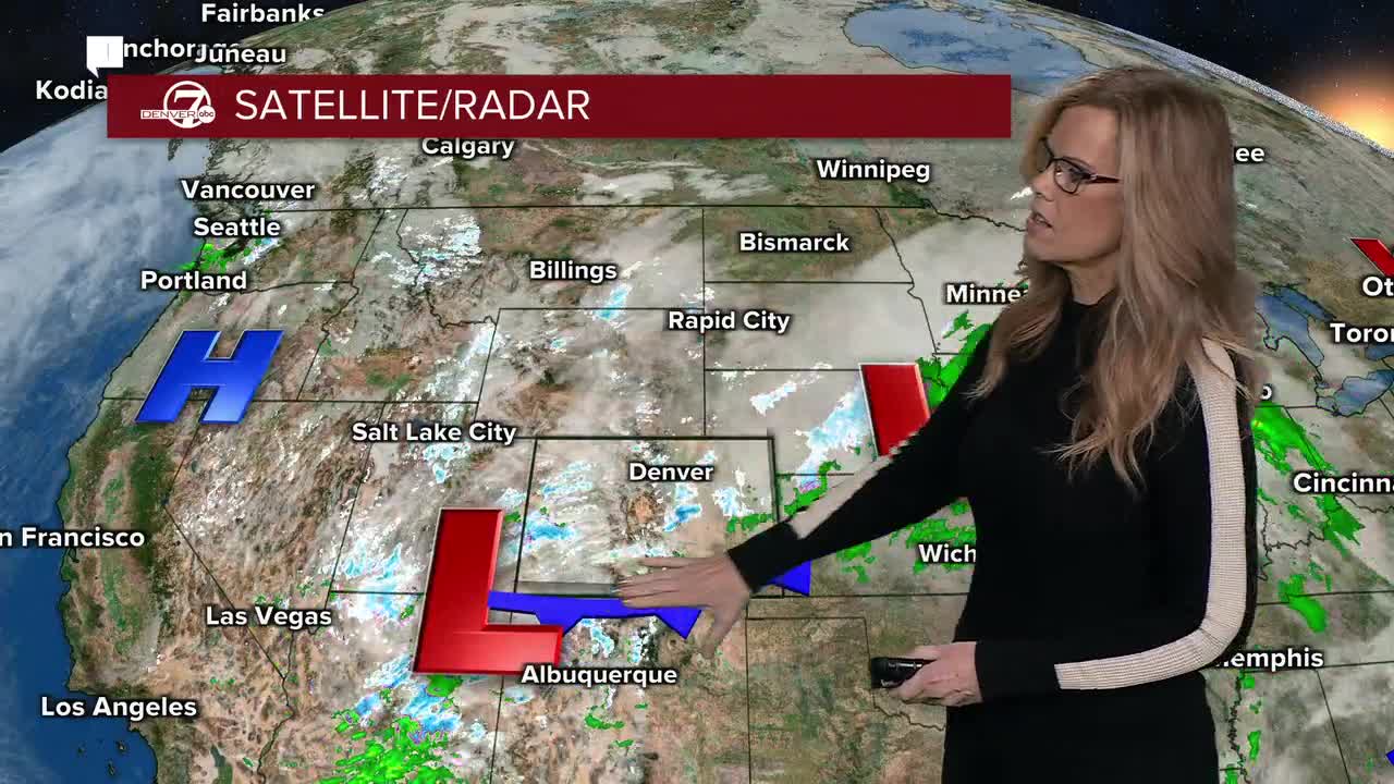
Snow coverage will pick up overnight as a cold front slides through. Most areas along the I-25 corridor, including Denver, can expect around a half inch to 2 inches of snow by Friday morning, with the higher end favoring the south side of the metro. The southern foothills and the Palmer Divide will be the main focus for heavier snow overnight, where conditions turn more wintry after midnight.
Farther south and east, snowfall becomes more impactful. Southern Lincoln and Elbert Counties are looking at roughly 2 to 6 inches of snow by Friday, and that’s enough to cause problems when combined with gusty winds. A Winter Weather Advisory is in effect for those areas tonight into Friday morning, as blowing snow and reduced visibility could make travel slick and difficult, especially during the morning hours.

In the mountains, snow will continue at a lighter but steady pace overnight. By late Friday morning, most mountain locations should pick up an additional 2 to 4 inches. Snow will taper off fairly quickly by midday Friday as drier air moves in, but it will remain breezy and feel noticeably colder than what we’ve seen lately.
Friday night will be the coldest stretch of this forecast. Lows will drop into the low teens across the plains and urban corridor, with single digits possible in the foothills and mountain valleys. Wind chills will dip even lower, so it’s going to feel downright frigid heading into early Saturday morning.
The good news is that temperatures rebound this weekend. Dry weather takes over Saturday through early next week, with highs climbing into the 50s by Sunday and possibly the 60s by Monday and Tuesday. Enjoy the quiet stretch, because the next chance for precipitation shows up around Wednesday into Thursday, with snow likely in the mountains and a rain or snow mix possible on the plains.
.
DENVER WEATHER LINKS: Hourly forecast | Radars | Traffic | Weather Page | 24/7 Weather Stream
Click here to watch the Denver7 live weather stream.
