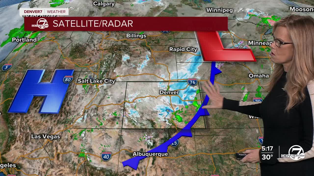


DENVER — We've officially had 7.5" of snow at DIA with this storm- higher amounts to the west and the south of Denver. St. Mary's Glacier received 13.5 inches of snow. Snow will gradually wind down this evening across the high country and along the I-25 corridor as the current storm system moves out of the region. While some moderate to heavy snow is still falling east of I-25 this afternoon, snowfall rates closer to the foothills and Denver metro should continue decreasing over the next few hours. By later this evening the snow will become more spotty before ending completely.

Most areas should be dry by around midnight. However, any leftover moisture on roads could become an issue overnight. As temperatures fall well below freezing, wet or slushy spots may refreeze, creating slick patches for the late evening and early Saturday morning hours.

Overnight temperatures will drop sharply once the skies begin to clear. Lows will fall to around 20°F in the Denver metro area, with upper teens across the plains. Mountain valleys will be much colder, dipping into the single digits and even a few spots below zero.
Conditions improve quickly on Saturday as sunshine returns and a warming trend begins. Afternoon highs should reach the upper 40s to low 50s along the plains and I-25 corridor, while mountain communities warm into the 30s. Dry weather is expected as calmer conditions settle back into the region.
The warmup continues through Sunday and into early next week. By Monday and Tuesday, temperatures around the Denver area could climb into the upper 60s and possibly near 70°F. Most of the region will stay dry, though there is a small chance, around 20 percent, of light snow showers in the mountains Tuesday into Wednesday. Otherwise, mild and mostly dry weather looks likely to continue through much of next week.
.
DENVER WEATHER LINKS: Hourly forecast | Radars | Traffic | Weather Page | 24/7 Weather Stream
Click here to watch the Denver7 live weather stream.
