

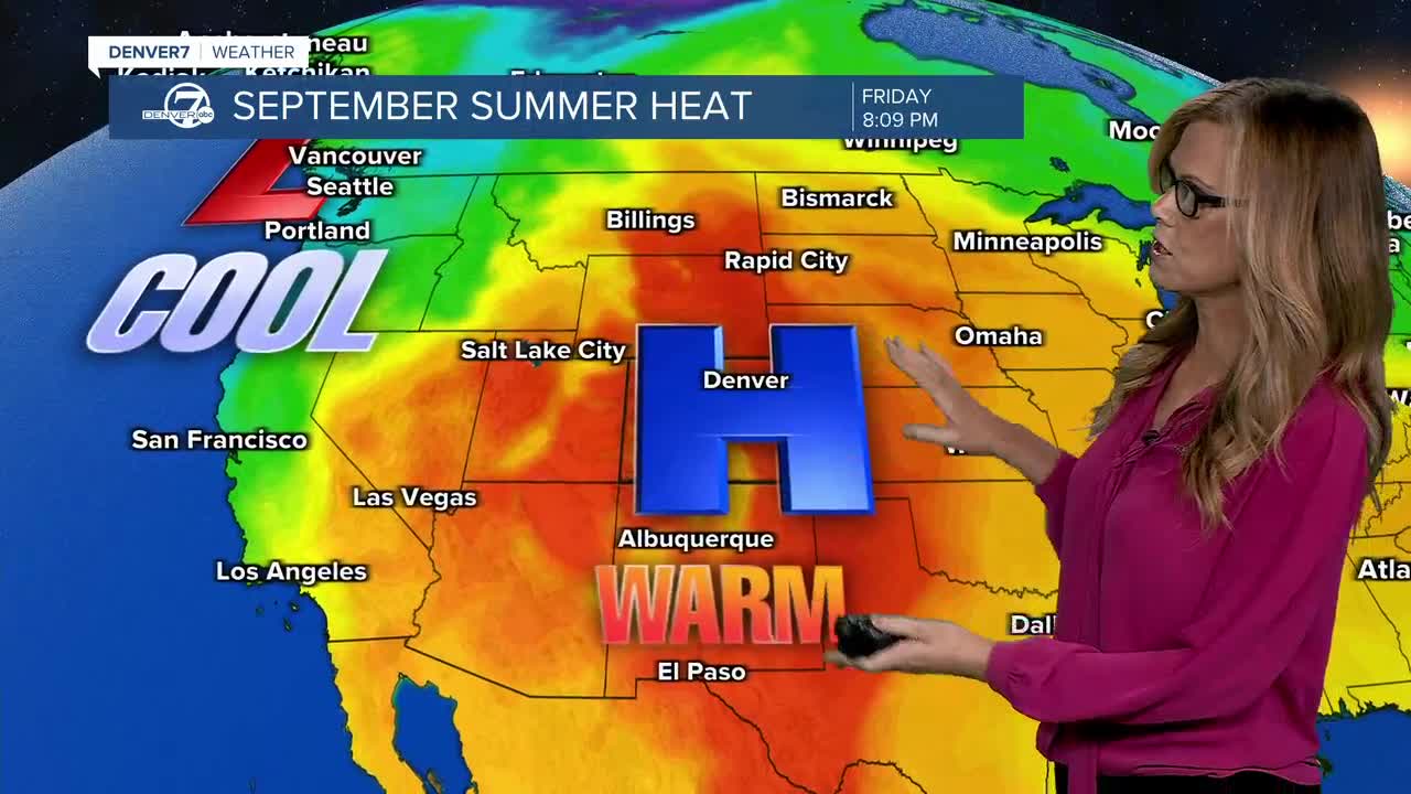


DENVER — Tonight will stay warm, with temperatures remaining above normal. A few isolated showers could develop, mainly near the higher terrain, but most of them should fade out before reaching the plains. Brief gusty winds are possible with any showers that do pop up.
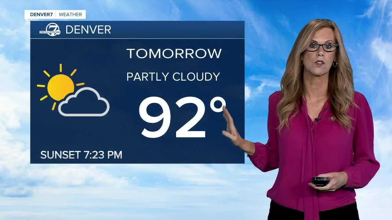
Saturday will be another warm day, with a few more showers and thunderstorms around. Most of the activity will be scattered, but the northeast plains could see a few stronger storms during the afternoon and evening. Gusty winds will be the main concern, with severe weather chances staying fairly limited.
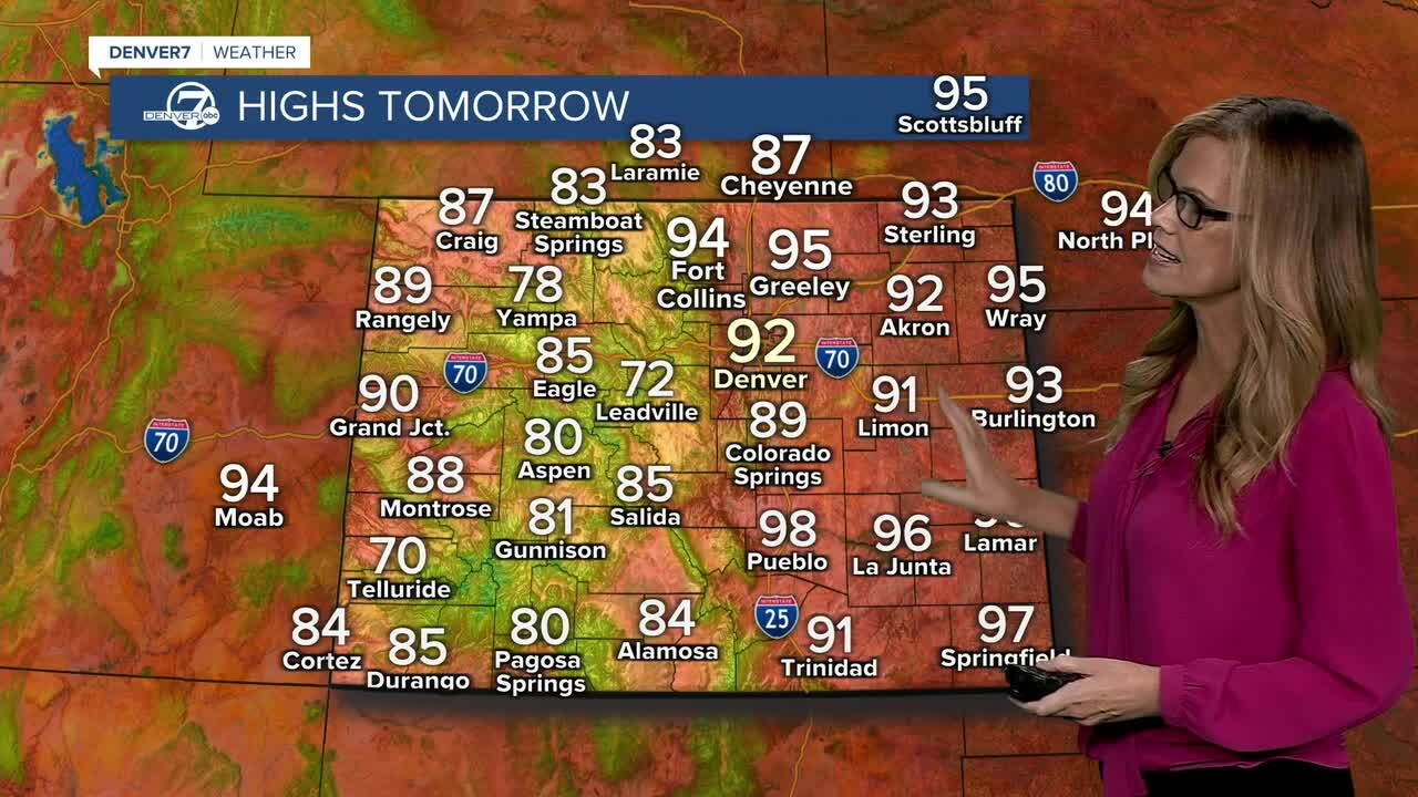
Sunday and Monday look a little wetter, with a better chance for showers and thunderstorms across the area. Most of the storms should remain on the weaker side, but there could still be some locally gusty winds. Even with the extra moisture, temperatures will stay warm, with many lower-elevation spots getting back into the 90s.
The warm pattern will continue through most of next week. The ridge of high pressure will weaken and shift a bit, but it should still be close enough to Colorado to keep temperatures above normal. At the same time, enough moisture should stick around for daily chances of isolated to scattered showers and thunderstorms.
Overall, expect a stretch of warm weather with periodic showers and storms. Saturday brings a few storm chances, especially across the northeast plains, while Sunday and Monday look more active. After that, daily shower and thunderstorm chances will continue into much of next week, but the bigger story will remain the above-normal temperatures.
DENVER WEATHER LINKS: Hourly forecast | Radars | Traffic | Weather Page | 24/7 Weather Stream
Click here to watch the Denver7 live weather stream.
