



DENVER — Gusty storms are rumbling across the Eastern Plains tonight, bringing 60+ mph wind gusts, large hail and brief but heavy rain! This will be the eastern side of the state's last opportunity to see measurable rain for the next 7 to 10 days.
- Watch the full forecast in the video player below.
Skies will gradually clear out overnight as temperatures dip into the upper 50s to low 60s by Saturday morning.
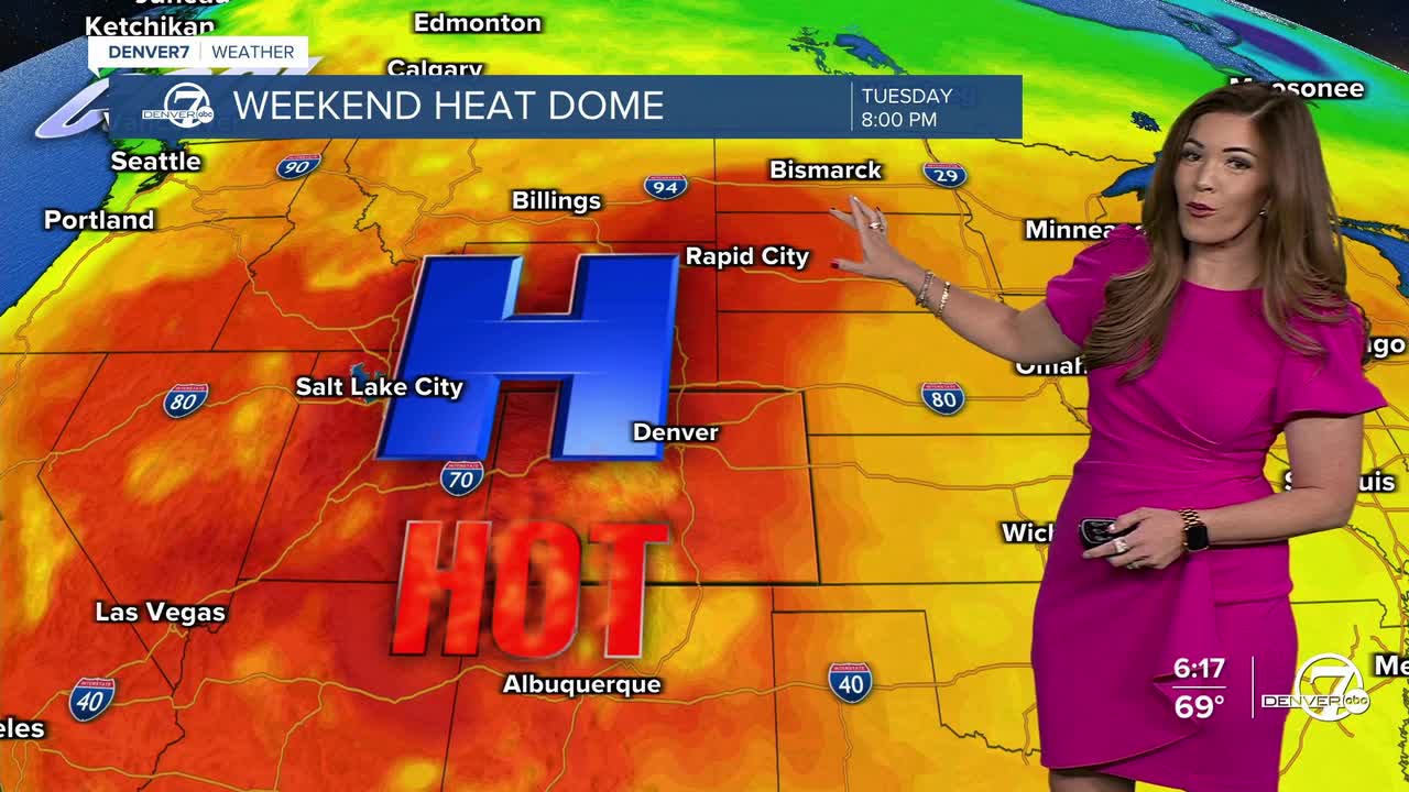
The summer sizzle rolls in Saturday as a strong area of high pressure builds over the region, bringing a long stretch of hot, sunny and dry weather to the state. High temperatures will climb into the mid to upper 90s across the Denver metro and Eastern Plains, while mountain valleys could challenge record highs. Warm nights will offer little relief, making the heat feel more persistent.
Extreme Heat Warnings will go into effect from noon Saturday until midnight Monday for areas across northwestern Colorado as temperatures could climb up to 106-degrees. Heat Advisories will be in effect during that same time frame for areas in southwestern Colorado. Highs will be between 97-degrees and 102-degrees.
The hot weather is expected to stick around through most of next week, with very little chance for rain across the lower elevations. Heat could become a concern, especially by Sunday or Monday, and heat advisories may be issued around the Denver metro area if temperatures continue to trend upward. If you'll be spending time outdoors, be sure to stay hydrated and avoid the hottest part of the afternoon when possible.
By the middle to latter part of next week, the weather pattern may begin to shift slightly. Some monsoon moisture could work its way into the mountains, bringing a better chance for scattered afternoon showers and thunderstorms there by Wednesday or Thursday. For the plains, however, the forecast continues to bring in mainly hot, dry and sunny conditions.
DENVER WEATHER LINKS: Hourly forecast | Radars | Traffic | Weather Page | 24/7 Weather Stream
Click here to watch the Denver7 live weather stream.
