


DENVER — A weak backdoor cold front is moving in across the far northeastern plains this evening, bringing a chance of light snow showers to the plains near Sterling and Fort Morgan.
Look for partly cloudy skies overnight in the Denver metro area as temperatures dip into the upper teens to low 20s.
We'll see some light snow in the mountains overnight into early Saturday, but skies will then clear statewide.
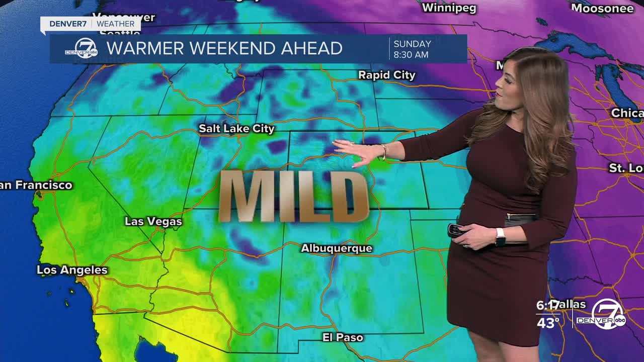
Here comes the heat as we wind down January. A ridge of high pressure builds back into Colorado over the weekend. This brings daytime highs into the mid to upper 50s Saturday! Sunday will be the warmer of the two days, with highs in the low 60s across the Front Range under sunny skies.
Another storm could potentially move into the Denver metro next Tuesday afternoon/evening, bringing a chance for a few snow showers and slightly cooler temperatures. Highs will take a dip back to the upper 40s to low 50s briefly Tuesday and Wednesday. Another warm up returns next Thursday and Friday as 60+ degree heat makes a comeback to the Mile High City.
DENVER WEATHER LINKS: Hourly forecast | Radars | Traffic | Weather Page | 24/7 Weather Stream
Click here to watch the Denver7 live weather stream.
