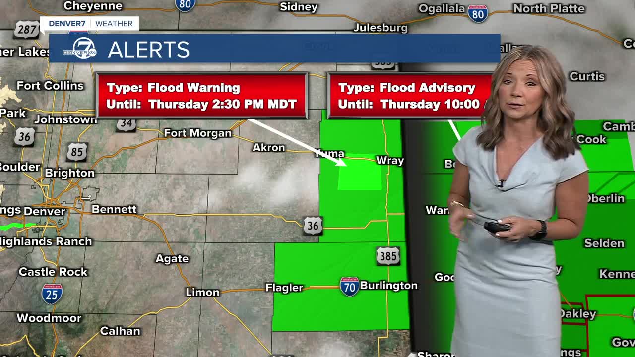


DENVER — It's a cool, cloudy and wet start to the day. More scattered storms and showers are likely throughout the day, with a risk of severe weather across the Eastern Plains. The risk of severe storms is lower than yesterday but a few could produce some heavy rain and larger hail, especially across the southeastern plains.
- Watch the full forecast in the video player below.
With scattered showers and cooler temperatures, fire danger will be a little lower across the western half of the state Thursday. That won't last long though. A red flag warning has already been issued for the Western Slope on Friday and it will get even hotter and drier this weekend.
This warmer weather is part of a major pattern shift that we'll see this weekend. We'll see more sunshine, limited storms, gusty winds and some summertime heat! Daytime high temperatures will soar into the mid to upper 90s on Saturday and Sunday afternoons.
It looks like the warmer weather sticks around into early next week, with highs near 90 degrees from Monday through Wednesday.
DENVER WEATHER LINKS: Hourly forecast | Radars | Traffic | Weather Page | 24/7 Weather Stream
Click here to watch the Denver7 live weather stream.
