


DENVER — The soggy skies and cooler than average conditions are here to stay all week long!
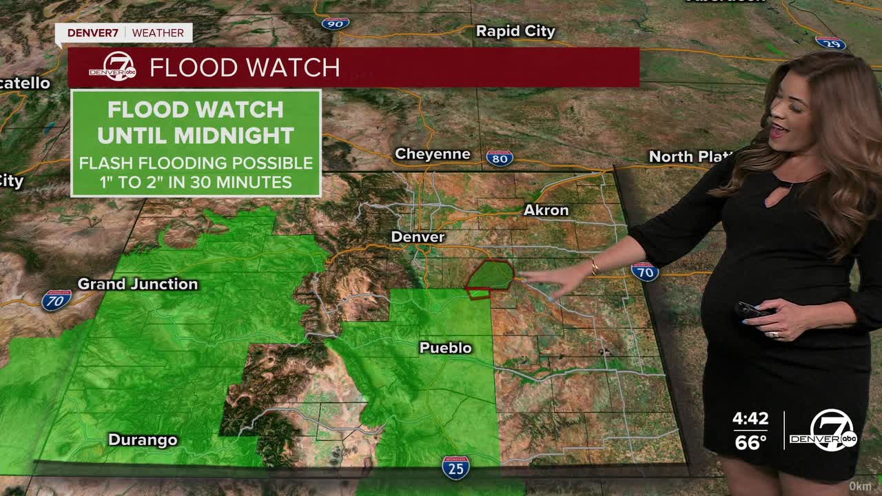
Scattered storms and showers will continue to stretch across Colorado tonight with a risk localized flooding, especially along the southern Front Range.
Look for the showers to gradually end overnight with mostly cloudy skies and patchy fog early Tuesday. Lows will dip into mid to upper 50s overnight.
Lather, rinse, repeat! We're in for another round of afternoon and evening storms along with cooler temperatures in the mid to upper 70s.
A Flood Watch will go back into effect Tuesday for parts of southern Colorado and include Colorado Springs, Woodland Park, Pueblo and Trinidad along with much of the Western Slope.
This active weather pattern will remain in place pretty much all week long. The atmosphere will be very moist, which means any storms that do develop could drop heavy rain again. Temperatures will also remain well below normal. We'll see highs in the upper 70s to low 80s from Tuesday through Friday.
Warmer and drier weather returns for Labor Day weekend. We'll see fewer storms and temperatures will be back in the low to mid 80s on Saturday, Sunday and Monday in Denver.
DENVER WEATHER LINKS: Hourly forecast | Radars | Traffic | Weather Page | 24/7 Weather Stream
Click here to watch the Denver7 live weather stream.
