


DENVER — It's a cool and soggy start to April as a storm is rolling through the region tonight.
Look for light rain along the Front Range and Eastern Plains through midnight before skies gradually clear. Overnight lows will dip into the mid to upper 30s.
Snow will continue to fall in the mountains this evening before moving out overnight. A Winter Weather Advisory is in effect for much of the high country and will continue through 9 p.m. tonight. Most mountain areas above 9,000 feet will see 5 to 10 inches of new snow, with up to a foot on the high mountain passes.
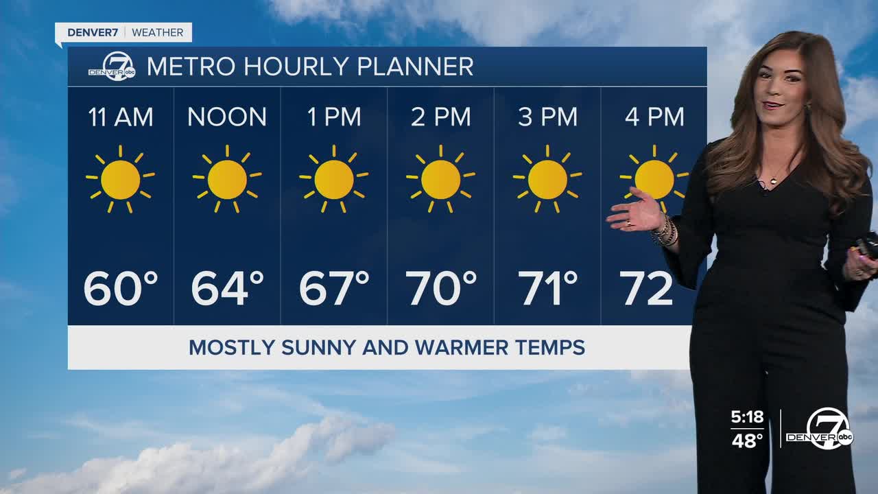
Thursday will bring a brief break from wet weather, as warmer and drier air move back into Colorado. We're in for plenty of sunshine and highs in the low 70s in Denver before another storm system moves into the state Thursday night.
Temperatures will drop back into the mid 50s Friday under partly cloudy skies. This incoming system looks to stay a bit further to the north, mainly impacting the northern mountains with another round of heavy snow. While Denver could be spared from any wet weather for the Rockies home opener, it does look like it'll be a blustery and cool day out at Coors Field.
Warmer, drier weather moves in for Easter weekend and into early next week.
DENVER WEATHER LINKS: Hourly forecast | Radars | Traffic | Weather Page | 24/7 Weather Stream
Click here to watch the Denver7 live weather stream.
