
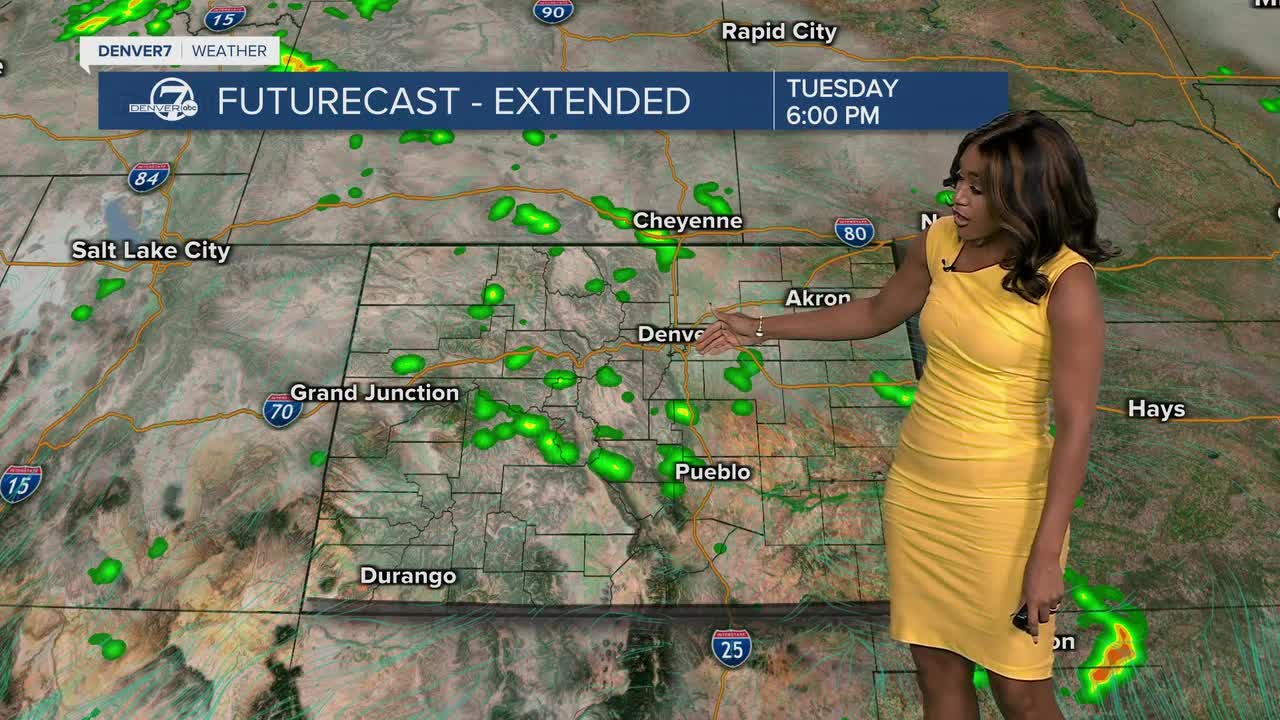


DENVER — The I-25 Corridor and the mountains could see isolated to scatter storms Tuesday, but the story will be different for the Eastern Plains, which could see a couple of strong to severe storms very late into the afternoon and evening
The Denver7 News team is tracking the latest severe weather alerts and storm reports below.
Refresh this page for updates and keep checking back for new details.
LINKS: Latest forecast | Radars | Traffic | Weather Page | 24/7 Weather Stream
Tuesday, September 9
5:43 p.m. | Severe thunderstorm warning | Up to 60 mph winds with golf ball-sized hail is possible for Baca, Bent and Prowers counties until 6:30 p.m. due to a severe thunderstorm moving in the area, according to the NWS in Pueblo.
5:38 p.m. | Severe thunderstorm warning | Up to 60 mph winds with quarter-sized hail is possible for Haxtun, Paoli and Dailey until 6:30 p.m. due to a severe thunderstorm moving in the area, according to the NWS in Boulder.
5:30 p.m. | DIA update | Two flights were canceled and 446 others were delayed Tuesday afternoon due to weather at DIA, according to FlightAware.
5:27 p.m. | Severe thunderstorm warning | Up to 60 mph winds with golf ball-sized hail is possible for Baca, Bent and Prowers counties until 5:45 p.m. due to a severe thunderstorm moving in the area, according to the NWS in Pueblo.
4:29 p.m. | Severe thunderstorm warning | The NWS office in Boulder has issued a severe thunderstorm warning for Fleming, Iliff and Crook in northeast Colorado until 5:15 p.m.
Severe Thunderstorm Warning including Fleming CO, Iliff CO and Crook CO until 5:15 PM MDT pic.twitter.com/cYwBhNDeYL
— NWS Boulder (@NWSBoulder) September 9, 2025
4:23 p.m. | Severe thunderstorm warning | Up to 60 mph winds with quarter-sized hail are possible for Bent and Prowers County until 5 p.m. due to a severe thunderstorm moving in the area, according to the NWS in Pueblo.
Severe Thunderstorm Warning including Bent County, CO, Prowers County, CO until 5:00 PM MDT pic.twitter.com/8rUDEbT6MU
— NWS Pueblo (@NWSPueblo) September 9, 2025
4:15 p.m. | DIA update | Two flights have been canceled and 301 others were delayed Tuesday afternoon due to weather at DIA, according to FlightAware.
4:12 p.m. | Ground stop issued at DIA | Planes coming into Denver were grounded until at least 4:30 p.m. due to winds as severe weather is affecting the Eastern Plains Tuesday, according to the FAA.
3:31 p.m. | Severe thunderstorm warning | Up to 60 mph winds with quarter-sized hail are possible for southeast Yuma and northeast Kit Carson until 4:30 p.m. as a storm moves northeast near Bethune at 15 mph, according to Denver7 meteorologist Clara Faith.
🚨 Severe Thunderstorm Warning for SE Yuma & NE Kit Carson Counties (CO) until 4:30 PM MDT.
— Clara Faith (@ClaraFaithTV) September 9, 2025
📍 Storm near Bethune, moving NE at 15 mph
⚠️ Hazards: 60 mph wind gusts & quarter-size hail
💥 Expect damage to vehicles, roofs, siding, and trees.
Stay safe! ⛈️ pic.twitter.com/uY7Lg8XGTo
2:50 p.m. | Severe thunderstorm watch | Up to tennis ball-sized hail is possible with scattered wind gusts of up to 70 mph along with frequent lightning as severe storms start forming on Colorado's Eastern Plains Tuesday afternoon. A severe thunderstorm watch is now in effect through 10 p.m. from Yuma down to Lamar.
A severe thunderstorm watch has been issued for parts of Colorado and Kansas until 10 PM CDT pic.twitter.com/EulXQPco6y
— NWS Pueblo (@NWSPueblo) September 9, 2025
Click here to watch the Denver7 live weather stream.