


UPDATE | Dec. 18, 11:10 a.m. — In the wake of a strong windstorm and multiple wildfires in Yuma County overnight, most of the county remains without power on Thursday morning. Officials provided more exact information on these fires during a press conference. See our updated story here.
...
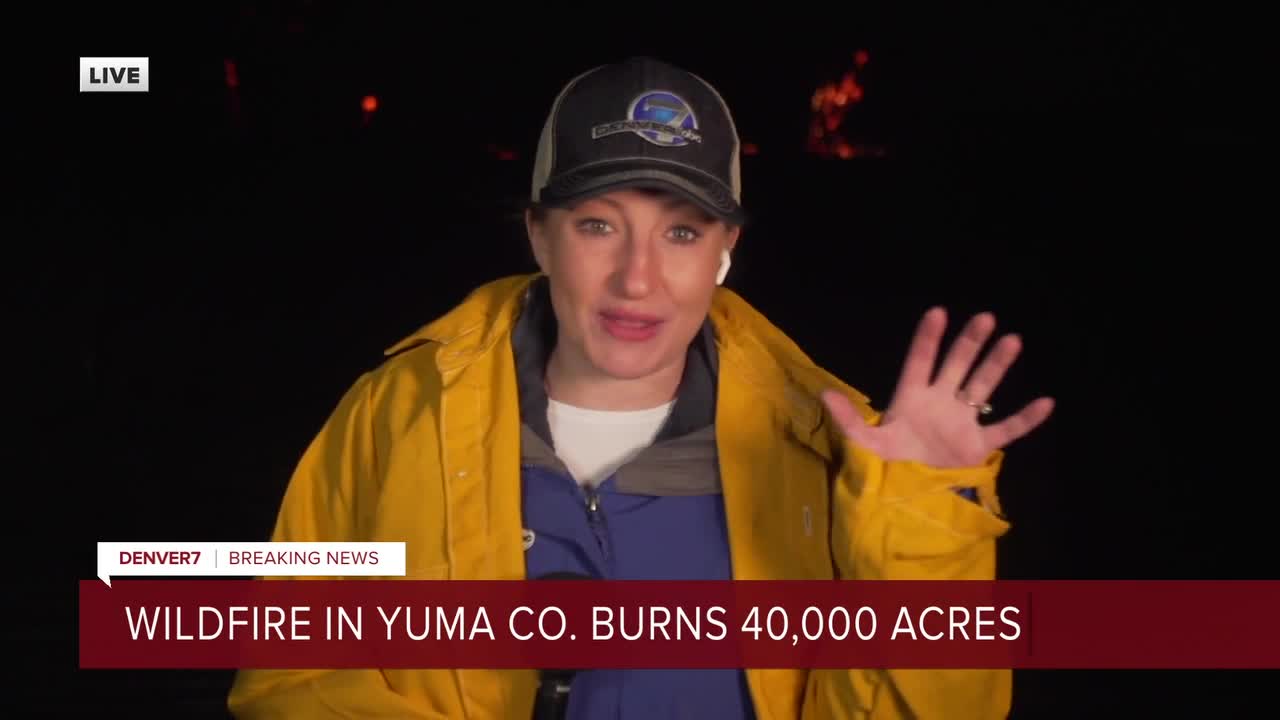
YUMA COUNTY, Colo. — Emergency personnel have contained all but one of the wildfires that broke out in Yuma County on Wednesday evening and quickly spread in the strong winds.
The only fire that was currently active as of Thursday morning was in a rural area of the county south of Eckley near the Heartstrong neighborhood. It had burned an estimated 40,000 acres as of 2:30 a.m., according to Jake Rockwell, emergency manager for Yuma County Office of Emergency Management. By that point, the other fires had been contained. In a press conference Thursday morning, officials corrected the total burn acreage for the fires to 14,000 acres.
We have crews reporting the latest on these fires on Denver7. A presser is planned for 10 a.m.
A fire warning was in place for Yuma County — located in northeast Colorado — with evacuations ordered for anybody who sees an approaching wildfire, the office said late Wednesday, adding that if you do not see flames, you do not need to evacuate.

Rockwell said officials believe all of the fires were caused by downed power lines due to the wind. The strong gusts made it impossible for firefighting aircraft to fly, according to the Colorado Department of Fire Prevention and Control. A multi-mission aircraft is expected to map the burned areas on Thursday.
The following is a list of where the now-contained wildfires were reported. Some of these combined before they were controlled, Rockwell said.
- County Road 33 and County Road M
- County Road 48 and County Road F
- County Road 385 and County Road 44.5
- County Road 43 and County Road N
- County Road 44 and County Road Q
- County Road 49 and County Road Z
- County Road 20 and County Road U
- 10 miles west of Wray
- South of Joes, near County Road L and County Road 2
- County Road 44 and County Road Q
- County Road L and County Road 2
The county's office of emergency management reported around 9:30 p.m. that strong winds would likely cause these fires to rapidly spread.

The area south of Eckley, where the biggest fire is burning, is no stranger to large wildfires. In March 2012, a 24,000-acre wildfire burned in this same area, destroying two homes and injuring three firefighters. Our partners at The Denver Post reported that it was sparked by a downed power line.
The exact size of the fires, and the extent of the damage they have caused, is not known as of 8 a.m. Thursday.

Several shelters were set up for residents who had to evacuate. They closed at 2:15 a.m. because they were no longer needed, officials said. Anybody who needs assistance should call 970-630-3799.
The Yuma County Emergency Management also had a plea for farmers as the fires raged: "If you have a tractor and disk ready to deploy to help with fires please call 970-397-0431 for instructions of where you can help most."
Yuma residents told Denver7 on Wednesday evening that power has been out since 8 p.m. At 9:25 p.m., the electrical company that services Yuma County activated its Enhanced Powerline Safety Settings, or EPSS, which allows for the power lines to remain in service with extra protection settings. Power lines are more sensitive under EPSS and will stop power if it detects something is touching the power line. This limits the company's ability to automatically restore any momentary outages, causing longer restoration times. To report an outage, call 970-345-2291.
Wray School District RD-2 and Yuma School District-1 said school is in session Thursday. The Liberty School District is closed.
"We have power, heat, food, water, and staff in our schools to assist students and families impacted by the weather, fire or power outages last night," Yuma School District-1 wrote on social media. "We will not run our bus routes this morning due to the uncertainty of roads and safe travel. If you are unable to travel and feel your child is safer at home, their absence will be excused."
Eckley residents were asked to conserve their water use.
"With the electricity off, there is only so much water in the tower. Also please limit you toilet flushing for the same reason," the town wrote online.
Anybody who sees wind or fire damage to structures or land is asked to email Rockwell at jrockwell@yumacountyco.gov. Include your name, address, phone number and a detailed description of the damage. Photos are encouraged.
The National Weather Service posted a radar image on social media showing what it believed were smoke plumes, seen in blue below.

The NWS was reporting wind gusts up to 80 mph in Yuma County, Kit Carson County and Cheyenne County — all along the Kansas border — around midnight. Blowing dust was also a hazard in this area, so a warning for that was in place until 2 a.m. Thursday.
A red flag warning is in effect for this area on Thursday because "fires could exhibit explosive growth and be impossible to control," the NWS said. It warned about 60-70 mph winds Thursday.
An air quality health advisory is in effect until 9 a.m. Thursday due to the wildfire smoke. This applies to eastern Yuma and Kit Carson counties, according to the Colorado Department of Public Health and Environment.
"Moderate to heavy smoke is expected in areas downwind of these fires, including along Highway 385 south of Wray and along I-70 near Burlington," the CDPHE said.
This is a developing story and will be updated.
Watch Denver7's 24/7 weather stream in the video below.
