Wednesday’s dangerous winds – equivalent of a Category 1 hurricane in some places along the Front Range – are an extreme result of the La Niña weather pattern that has kept the Denver metro so dry this fall.
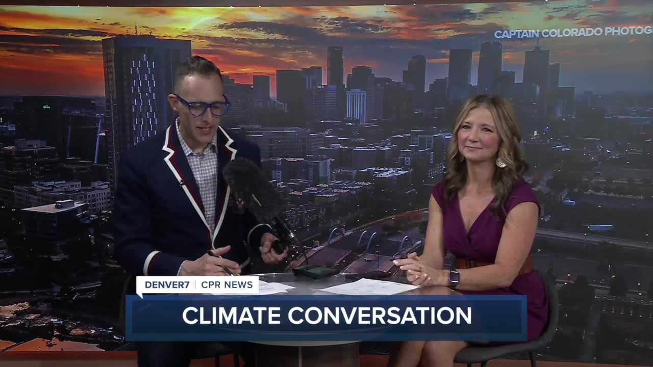
Weather systems that come from the Pacific Northwest bring moisture with them, but all of the precipitation gets tied up in the high country, Denver7 Chief Meteorologist Lisa Hidalgo explained in the December edition of her weather and climate conversation with Colorado Public Radio host Ryan Warner.
“It's kind of the flow where it's coming in from the northwest, and the mountains act like a wet towel ringing out all that wet weather,” she said.” So we don't get it down here. We get the down sloping winds, which leads to [...] temperatures that have been well above normal.”
While Denver is typically near 20 inches of snowfall by the end of December, we sit at just 4.3 inches through December 16 with more dry conditions in the forecast.
That’s likely to extend through Christmas, leaving the city without a white Christmas. And while that’s a downer for those who dream of a snowy holiday, it’s not all that uncommon. Denver sees snowfall on Christmas only about 14% of the time, and has an inch of snow on the ground on December 25 just 37% of the time.
"I think people imagine that Colorado is this snowy, gorgeous Christmas scene, when really, we don't often see snowfall on the actual day – at least here in town, the mountains will be a different story," Hidalgo said.
She and Warner also chatted about the snowpack, the state’s drought conditions and the weather extremes that stood out to Lisa in 2025, as part of the pair’s final weather conversation of the year.
- Hear their full discussion in the video player below:


