DENVER —
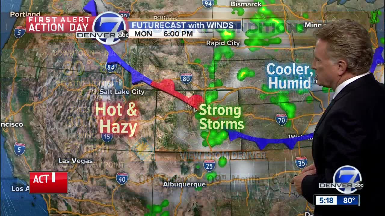
Severe thunderstorms raked the Colorado Springs area on Monday with large, damaging hail and very heavy rain. Other severe storms rumbled over the northeast plains with large hail in central Weld County, Morgan County and eastern sections of Adams and Arapahoe County.
Most of the storms just missed Denver, but the towering thunderheads were very easy to see just to the east of the city and plenty of lightning flashed well into the evening across the eastern plains.
Overnight the storms will end and skies will clear. Low temperatures will be in the mid-to upper 50s by early Tuesday. In the mountains and foothills, mostly clear skies and lows in the mid-to upper 40s can be expected.
Tuesday will be dry in the morning under mostly sunny skies. In the afternoon, there is still a chance of strong storms over eastern Colorado. Highs will be in the low to mid 80s on the plains, with 70s and 80s in the mountains.
The stormy pattern will wind down by mid-week, with just a slight chance for storms on Wednesday. Warmer and drier weather will return for the end of the week into the weekend with highs in the upper 80s to low 90s for Denver and the eastern plains.
In the mountains, temperatures will return to the upper 70s to mid-80s. The dry weather will keep fire danger elevated.
Be sure to download the STORM SHIELD APP to help keep you ahead of any stormy weather!


