


A Severe Thunderstorm Watch is in effect for Denver and most of eastern Colorado until 9 PM. There is a risk of severe weather along the I-25 corridor - the biggest concerns will be heavy rain, large hail and damaging winds.
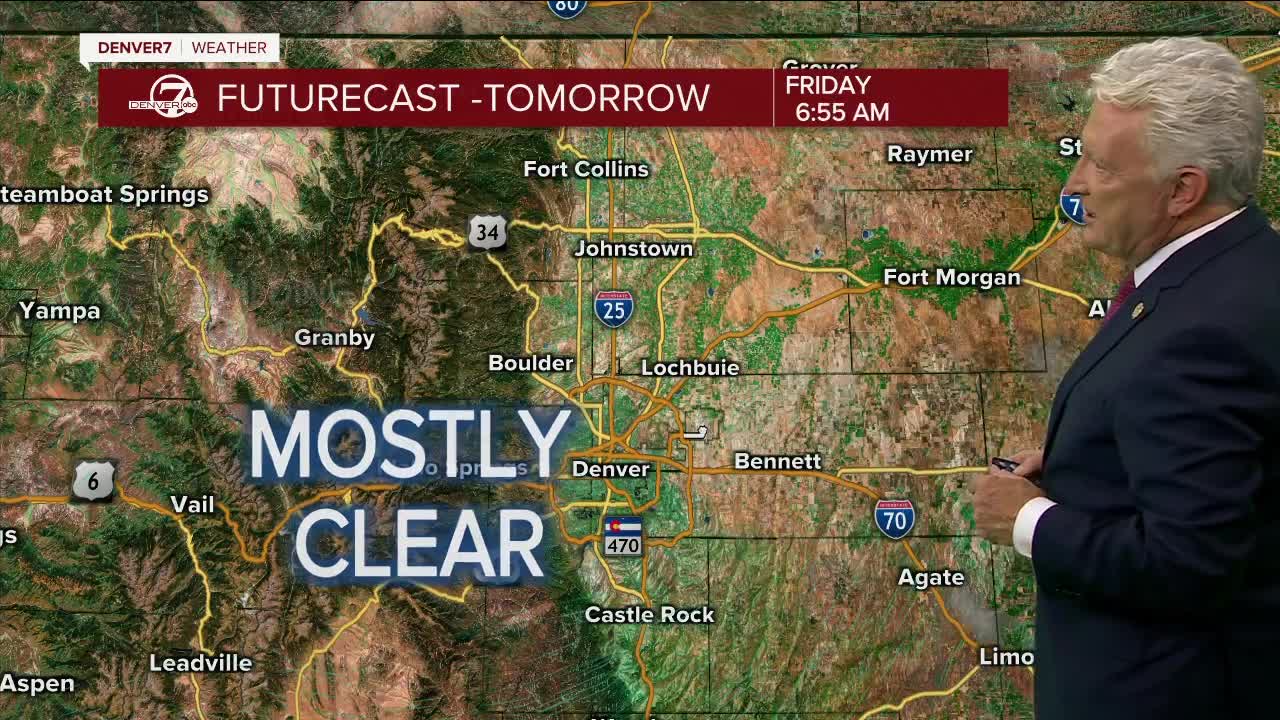
The storms will move east into Kansas and Nebraska overnight with clearing skies across Colorado. Morning low temperatures will be in the upper 50s to low 60s on the plains and in the 40s to low 50s in the mountains.
Friday will be a drier day with only a few thunderstorms developing - mostly east of Denver and the I-25 Corridor. Highs will be in the mid-to upper 80s for lower elevations and in the 70s to low 80s in the mountains.
Saturday will feature a better chance for thunderstorms over northern Colorado - just ahead of a cold front that will push into the state from Wyoming in the afternoon. Highs will be in the 80s for Denver and northeastern Colorado.
The cold front will usher in some cooler weather for Sunday along with some showers. Expect highs in the upper 70s on Sunday.
Early next week will turn warmer and drier again with highs rebounding into the lower 90s by Tuesday.
LEARN MORE: Hourly forecast | Radars | Traffic | Weather Page | 24/7 Weather Stream
Click here to watch the Denver7 live weather stream.
