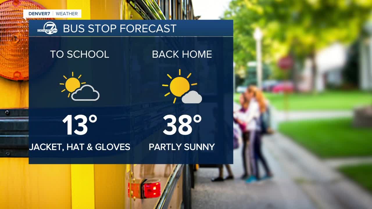
A bitter cold air mass covers much of the northern United States, including northeastern Colorado! Temperatures once again dropped into the single digits with with wind chills below zero this morning. Areas of fog will develop again tonight over eastern Colorado, so be aware of potential slick road conditions
The very cold air is heavy and dense and does not flow uphill very easily, so the western and southern suburbs of the Denver area remain milder, with temperatures in the teens to low 20s overnight.
The mountains are also not as cold, with readings in the 20 and 30s. There will be another round of snow moving in tonight and it will continue off and on through the end of the week for the high country.
Temperatures will vary greatlyover the next few days as that very cold air mass will be lurking just to the northeast of the Denver area. Wednesday will again be fairly mild for western and southern suburbs with highs in the 30s to low 40s. Farther to the northeast, especially in the South Platte Valley, readings will be in the 20s, with much colder weather in extreme northeast Colorado, southeastern Wyoming and Nebraska.
By Thursday, the colder air will begin to surge southward across more of Colorado. Temperatures will drop to the 20s to near 30 for highs on Thursday and then plunge Friday through the weekend to some of the coldest weather we have seen in a few years. Lows may tumble to 5 to 10 degrees below zero by Saturday and Sunday morning!
Along with bitter cold, there will be a chance for snow, although amounts in Denver will likely be just a couple inches starting Thursday and continued into Saturday.
Temperatures will moderate early next week, climbing back to the upper 20s on Monday and near 40 degrees by Tuesday.
Click here to watch the Denver7 live weather stream.


