Much of Colorado remains under some type of weather advisory. Over the mountains and foothills, Flash Flood Watches remain in effect for the threat of locally heavy rain, flash flooding and mudslides.
An Air Quality Advisory continues in effect for eastern Colorado as the combination of smoke particles from western wildfires and moderate to high levels of surface ozone make conditions unhealthy for persons in sensitive groups - such as those with COPD or asthma.
The winds aloft are quite light, so the weather pattern will not change much over the state through Tuesday. A weak weather disturbance will move into Colorado from the north on Tuesday and will increase the threat for thunderstorms with locally heavy rain - mainly along and west of I-25. Showers and thunderstorms develop by midday and become heavy during the afternoon and early evening.
The weak disturbance will drift southward on Wednesday and carry the risk of flooding rains over the southern third of the state and into New Mexico. By Thursday and Friday, the weather will turn hotter and drier over most of Colorado.
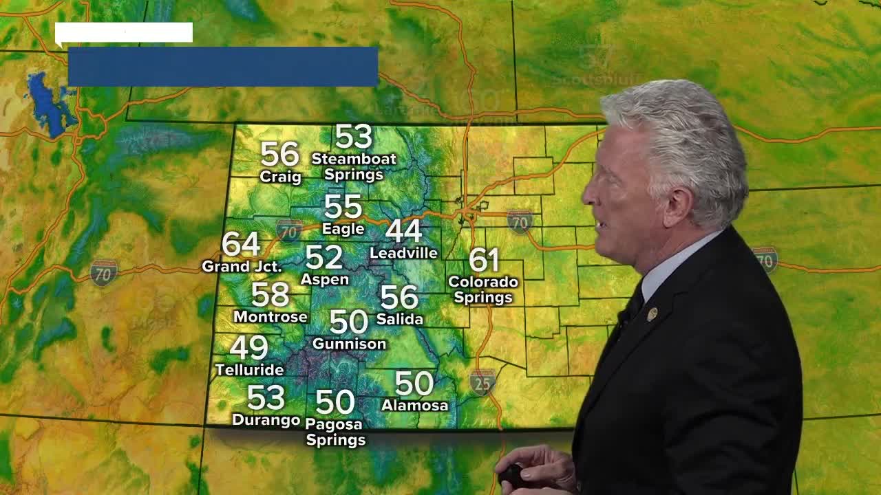
Temperatures will be in the in the mid to upper 80s in Denver on Tuesday and Wednesday and return to the 90s for the end of the week and through the weekend. It will be quite cool in the mountains on Tuesday with clouds and showers keeping readings in the 50s to low 60s.
Warmer weather will return to the high country by the end of the week with only isolated thunderstorms. Highs will bounce back to the 70s and lower 80s.
Click here to watch the Denver7 live weather stream.


