A massive winter storm continues to swirl slowly across central Nebraska. This intense low pressure system is a giant whirlpool of wind, rain and snow for the central plains and has slammed roads closed from northeast Colorado through western Nebraska and into the Dakotas.
The storm is so large and powerful that it has spun strong winds and heavy snow all the way back into eastern Colorado - BLIZZARD WARNINGS remain in effect for the eastern plains through tonight and travel is not recommended.
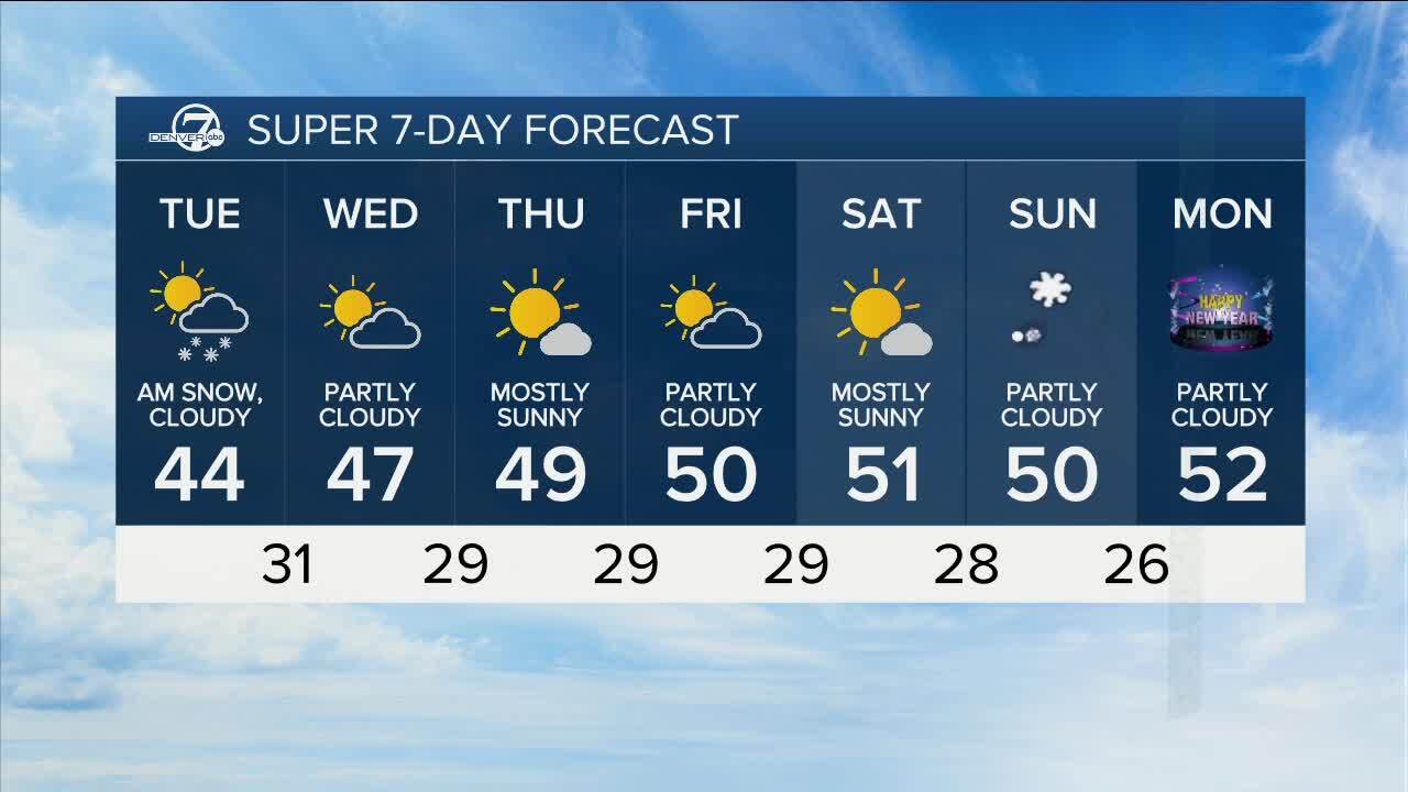
Denver and the I-25 Corridor lie on the western fringe of this storm, but the weather will stay windy and cold with some flurries tonight. The slow eastward progress of the entire system means that Wednesday will be a windy and cold day, but the snow will end.

As the storm gradually eases off to the east, our weather will slowly moderate for the rest of the week. Lighter winds and a warming trend will set in Thursday through Saturday.
A cold front will slip back into Colorado on Sunday, but will bring only slightly colder air and some increasing clouds. Monday will be cool, but dry for the start of 2024, followed by a chance for light snow next Tuesday.
LEARN MORE: Hourly forecast | Radars | Traffic | Weather Page | 24/7 Weather Stream
Click here to watch the Denver7 live weather stream.


