


DENVER — The myth that Denver gets 300 days of sunshine a year may be inching closer to reality given our unseasonably warm autumn so far, but fear not lovers of all things cold — the true start to the winter season may finally be around the corner.
In case you’re keeping tabs, it’s been 220 days since Denver last saw measurable snow on the ground, according to data from the National Weather Service (NWS) in Boulder. And with Denver now chasing gold for the latest snowfall ever recorded, you might be wondering if you should stay the course or start hedging those bets.
“A lot can change between now and then,” said Denver7 chief meteorologist Lisa Hidalgo late Monday morning, “but it looks like we’re gonna see snow develop on Saturday” if the models, of course. More of that in a bit.
Forecasters with the NWS in Grand Junction said earlier in the day limited moisture is already making its way to Colorado behind a cold front that’ll result in snow showers for the northern mountains of Colorado Monday night into Tuesday morning.
Hidalgo said snow intensity and totals will not be impressive, with 1-2 inches of snow possible above 10,000 feet, around the Park Range Elkheads, Flat Tops and Gore Range mountains.
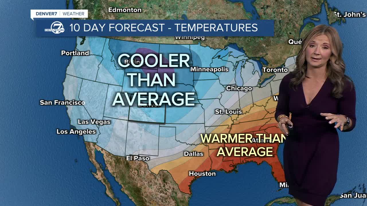
Those snow showers will continue over the northern mountains Wednesday, meanwhile for the Front Range, temperatures will warm up after a cooldown Tuesday, with highs in the low 50s and mid-to-upper 50s for Thanksgiving Day.
Check latest Colorado weather alerts

Weather forecasters are still monitoring the potential for a strong winter storm beginning Saturday in the mountains but said the modeling of the coming low front and its moisture content is giving them little to work off at the moment and is providing “the greatest uncertainty” about how this system will develop by the end of the week.
“We’re tracking this storm… still a little too far off to talk totals or anything like that, but it does look like it’s going to be our first official snow of the season come Saturday into Sunday,” Hidalgo said, adding that regardless of the snow accumulation, “it does get cold from Sunday into early next week.”
Weather service officials in Grand Junction were also careful to speculate on any potential totals in their forecast discussion.
“Where impacts would even be felt is the big question though, and we will have to wait until guidance converges before elaborating on the finer details,” they said.
Here are Denver’s latest first snowfall dates since 1882, from the NWS in Boulder:
- Dec. 10 (2021) – 0.3”
- Nov. 21 (1934) – 1.0”
- Nov. 19 (1931) – 1.0”
- Nov. 17 (2016) – 1.7”
- Nov. 16 (1894) – 2.6”
DENVER WEATHER LINKS: Hourly forecast | Radars | Traffic | Weather Page | 24/7 Weather Stream
Click here to watch the Denver7 live weather stream.