

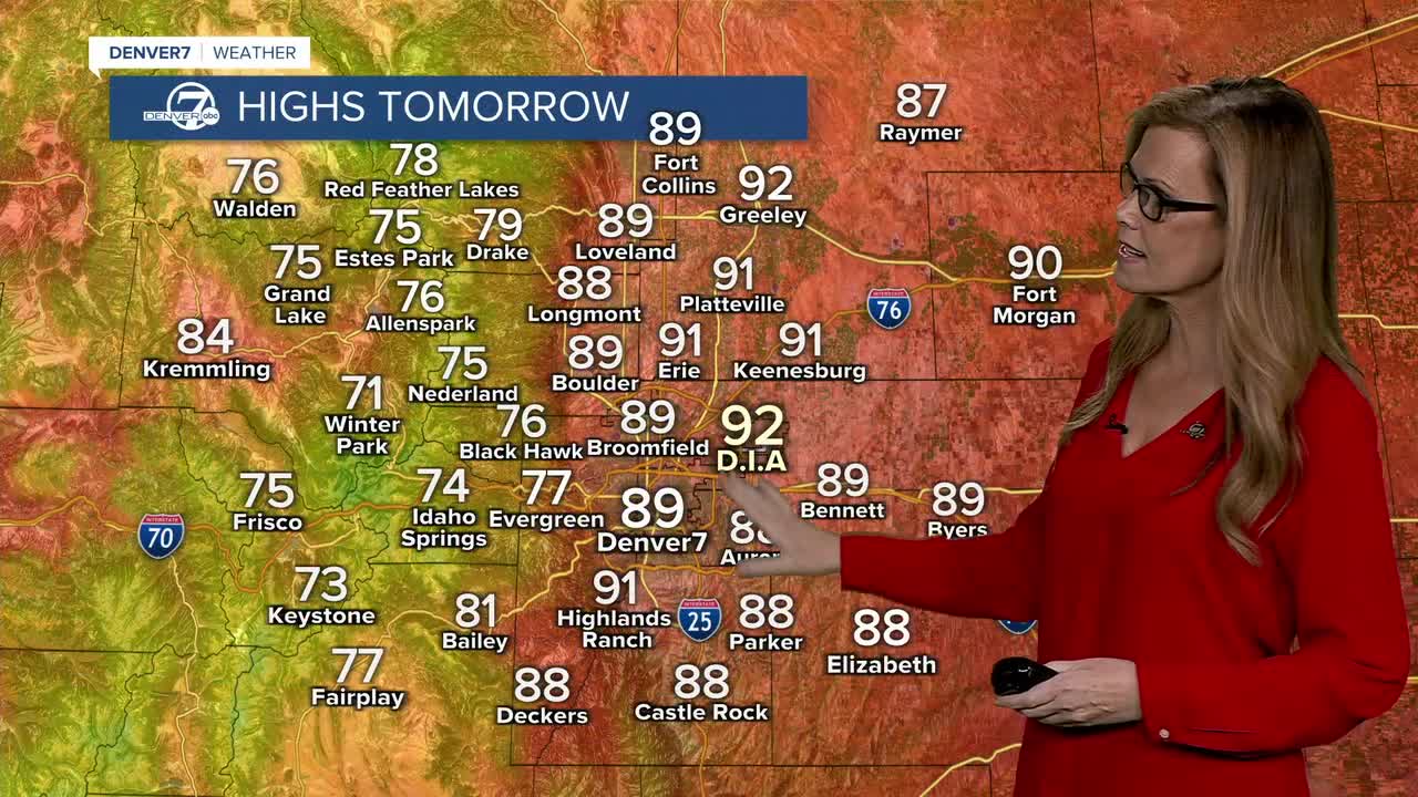


DENVER — Tonight will stay fairly warm, with a chance for a few isolated showers or thunderstorms across the eastern plains. Overall, things should be pretty quiet compared with the more active weather we’ve had over the last few days.
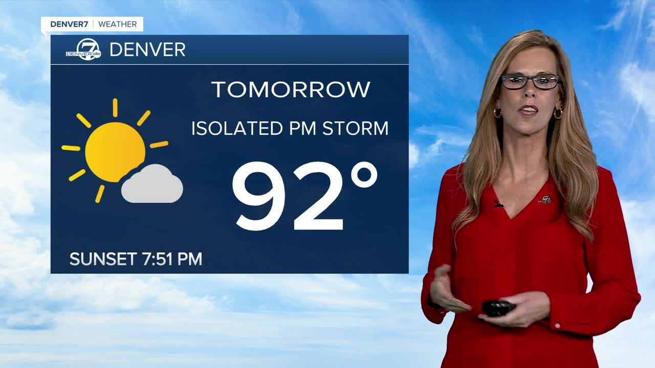
Tuesday looks warmer again, with scattered afternoon showers and thunderstorms. A weak cold front will move through late in the morning, bringing in a little more moisture and instability. A couple of storms could become strong, especially across the eastern plains.
Wednesday is shaping up to be the most active day of the week. Scattered thunderstorms are expected, and there will be a chance for some severe storms. Strong winds, hail, and heavy rain will be the main concerns.
After Wednesday, the weather turns drier for Thursday and Friday, while temperatures warm back into the mid-90s around Denver. It should feel more like typical late-summer weather, with plenty of sunshine and fewer storms.
By the weekend, temperatures will stay above normal, but some monsoonal moisture could make a return. That means a better chance for afternoon and evening showers and storms, especially Sunday and Monday. Overall, it looks like a warmer stretch with a brief uptick in storm chances by the weekend.
DENVER WEATHER LINKS: Hourly forecast | Radars | Traffic | Weather Page | 24/7 Weather Stream
Click here to watch the Denver7 live weather stream.
