


DENVER — Clouds will move in tonight as a weak storm system passes by to our north. Most of the snow will stay in the far northern mountains, while the rest of the area stays dry. Because of the clouds and a bit of wind, it won’t get too cold, temperatures will only drop into the upper 30s and 40s overnight.
On Monday, a stronger part of the storm will move through and bring more snow to the mountains. For everyone else, the main story will be the wind. It’s going to get pretty gusty, especially near the foothills and close to the Wyoming border, where winds could reach around 50 mph.

Monday afternoon and evening, some rain showers will pop up over the eastern plains, and there’s a small chance of a few thunderstorms. It might get cold enough for a few flakes of snow later on, but most places will just see rain before things dry out.

Tuesday will stay windy, especially across the plains, as colder air moves in. Highs will only reach the mid to upper 40s. Skies will clear later in the day, and once the wind dies down Tuesday night, it’s going to get chilly, lows will fall into the 20s, and some spots could even dip into the teens.
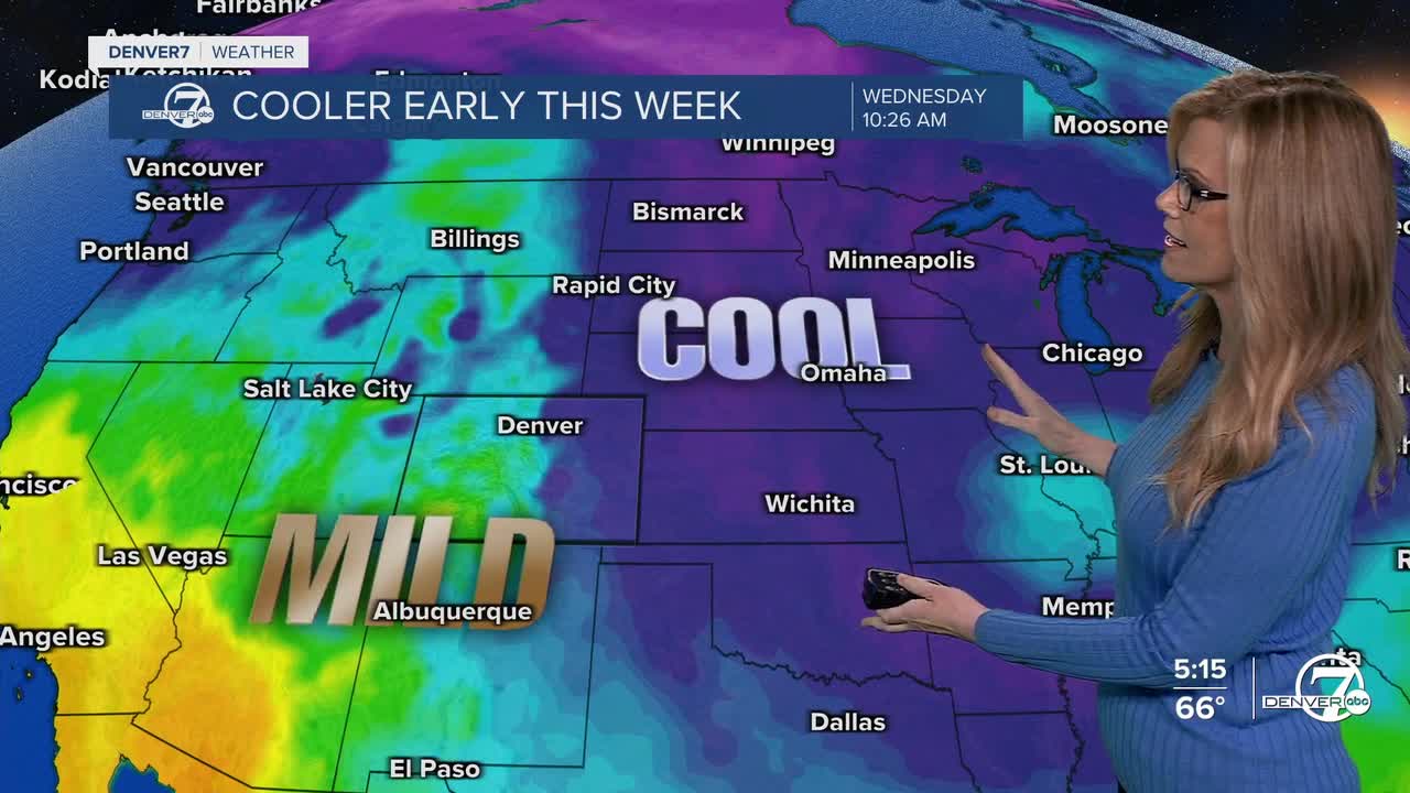
By Wednesday, the weather will finally calm down. It’ll still be cool, with highs in the 50s, but it’ll be sunny and much less windy. The rest of the week looks quiet and dry, with temperatures near normal. Next weekend should be even nicer, with sunshine and warmer weather returning.
DENVER WEATHER LINKS: Hourly forecast | Radars | Traffic | Weather Page | 24/7 Weather Stream
Click here to watch the Denver7 live weather stream.
