


Starting tonight, the weather will stay mostly quiet across the region, but not without a few brief moments of action. Through the rest of this evening, we’ll see some spotty, high-based showers and weak thunderstorms popping up over the mountains and foothills, especially near the Palmer Divide. These storms won’t bring much rain, but they could stir up gusty winds, mainly in the 35 to 45 mph range, as they drift toward the plains. Most of these will fizzle out as they move eastward into more stable air. By later tonight, the showers will die down and skies will begin to clear, setting us up for a calm overnight with typical drainage winds returning.
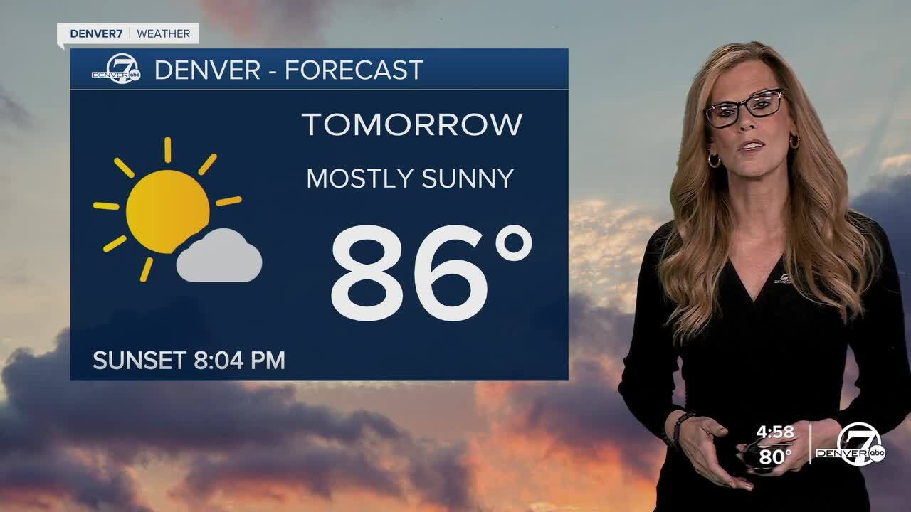
Monday looks warm and dry, continuing the trend we’ve been seeing. Highs will climb into the upper 80s across the lower elevations, and some spots along the South Platte River valley could touch 90 degrees. Up in the foothills and mountain valleys, it’ll be a bit cooler but still quite mild, with temperatures in the 70s. There's not much moisture in the air, so skies should stay mostly sunny, and we’ll likely see more snowmelt in the mountains. This drying trend is worth watching closely, especially since fire weather conditions may become more of a concern as the week goes on.
Heading into Tuesday and Wednesday, we’ll be keeping a close eye on fire weather risks. Even though fuels aren't quite at critical levels yet, they are drying out quickly—particularly in northeastern Colorado and the mountain valleys. Tuesday and Wednesday are shaping up to be the most concerning days for fire weather this week, depending on how much drying continues. If things progress as expected, we might see patchy areas of elevated fire danger, so outdoor burning and other fire-starting activities should be approached with caution.
By midweek, we’ll see a shift in the overall weather pattern. The low-pressure system over the Gulf states will move out, making way for a Pacific storm system to move in from the west. On Wednesday, we’ll start to notice more moisture creeping into northern Colorado, especially with an approaching cold front and stronger southwesterly winds. This setup could bring some scattered thunderstorms to the northern part of the state and might even bring some late-season snow back to the northern mountains. The main impacts will likely stay north of most populated areas, but it’s something to watch closely.
After that front moves through, temperatures should settle back to near normal for the second half of the week. While the forecast may still shift a bit as we get closer, for now it looks like the end of the week will bring milder, more seasonable conditions. Of course, with Colorado spring weather, it’s always wise to stay tuned—things can change quickly.
.
DENVER WEATHER LINKS: Hourly forecast | Radars | Traffic | Weather Page | 24/7 Weather Stream
Click here to watch the Denver7 live weather stream.
