

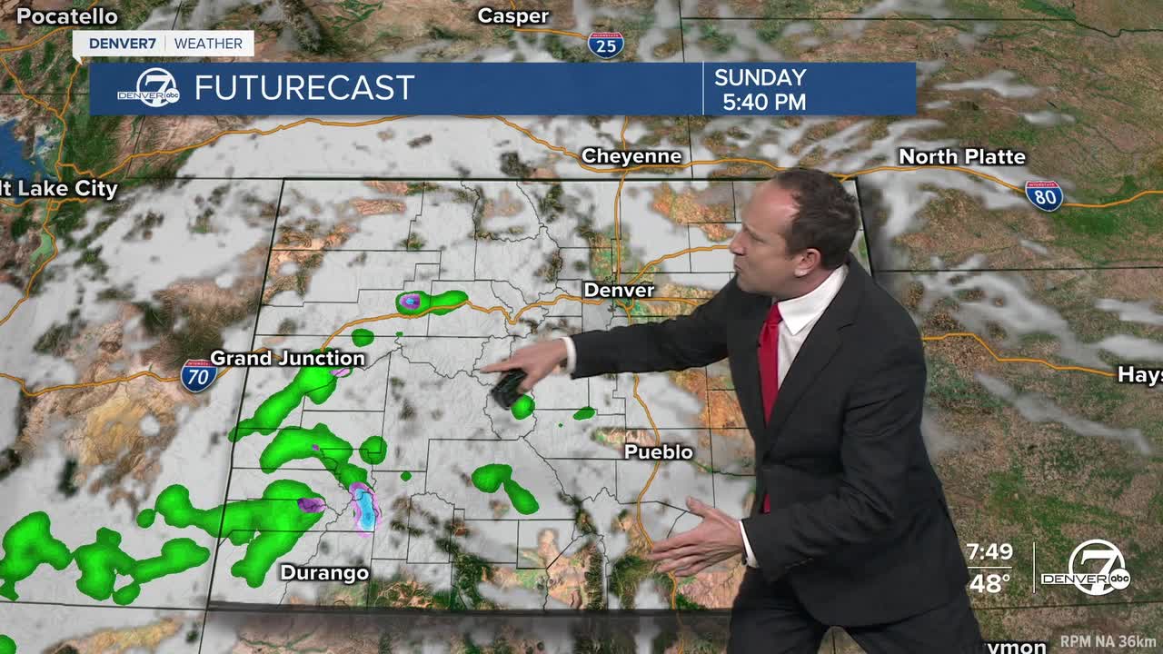


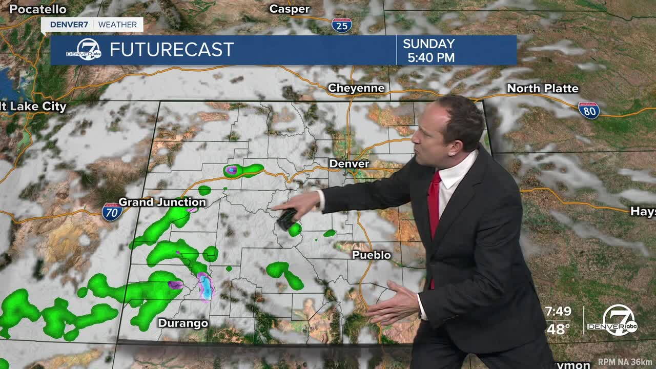
It will be another stunner of a day from Frisco and Fort Collins to Boulder and Denver. Skies will be more mixed at times today, featuring a slight increase in clouds as a weak wave moves from California into Arizona by this evening. This system may spread a few light rain and snow showers into southwestern Colorado today, with little to no impact across the Front Range and Denver metro area.
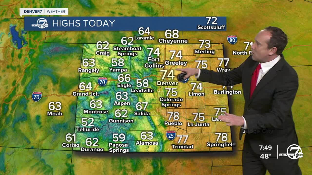
Highs today will be slightly cooler than yesterday, but still around 10 degrees above average, as we look to top out in the middle 70s.
A weak cold front this evening will cool highs by another few degrees on Monday, with a return to the upper 60s Monday afternoon. While it will be dry and mild for the I-25 corridor and eastern Plains, a few showers will be possible from the southwest mountains and central mountains to the Front Range foothills. Snow levels will stay above 10,000 to 11,000 feet through Monday evening.
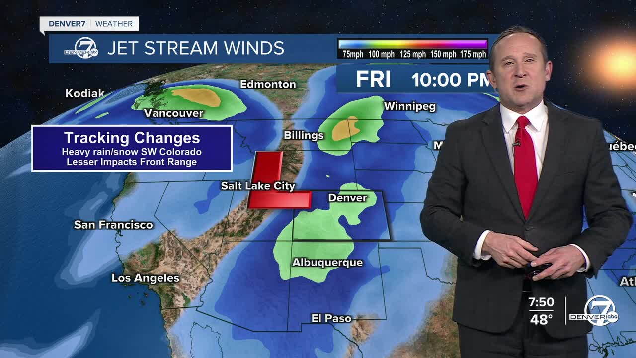
After Monday's quick cool down, highs will return to the 70s on Tuesday, with quiet weather initially giving way to warmer and breezy conditions by late this week. Because of this, we're not expecting any precipitation in the metro area until at the very earliest Friday or Saturday. Our impacts still look to limited with this storm, but in the San Juans and western Colorado, we're watching for the potential for significant rain and high elevation snow late this week.
DENVER WEATHER LINKS: Hourly forecast | Radars | Traffic | Weather Page | 24/7 Weather Stream
Click here to watch the Denver7 live weather stream.
