


DENVER — It's a gorgeous start to the day and we're in for a pretty comfortable Friday afternoon. You'll find partly cloudy skies early on, with upper 70s by lunch and high temperatures in the mid to upper 80s by 4 p.m.
- Watch the full forecast in the video player below.
A few isolated afternoon storms are possible along the southern Front Range and those storms could turn severe on the far Eastern Plains later Friday. Fire danger will stay elevated across the mountains and valleys due to dry conditions.
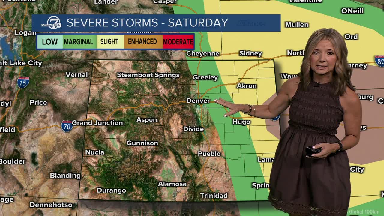
Saturday will be the most active weather day of the period. Critical fire weather conditions are expected in the mountains and mountain valleys, where warm temperatures, low humidity and gusty winds will create dangerous conditions. Across the Eastern Plains, increasing moisture will set the stage for strong to severe thunderstorms during the afternoon and evening.
The strongest storms on Saturday could produce large hail, damaging wind gusts, heavy rain and isolated tornadoes. The strongest storms will be on the far Eastern Plains, but will first develop closer to the Interstate 25 corridor.
Sunday and Monday will bring a return to more typical summertime weather, with scattered showers and thunderstorms developing during the afternoons and evenings. Some storms could still become strong at times, particularly over the plains. Cooler temperatures and continued chances for rain are expected to follow into the middle of next week.
DENVER WEATHER LINKS: Hourly forecast | Radars | Traffic | Weather Page | 24/7 Weather Stream
Click here to watch the Denver7 live weather stream.
