

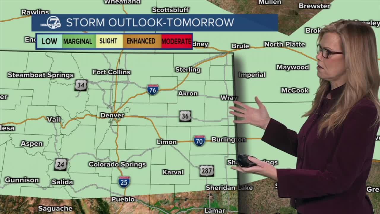


DENVER — Tonight, things will gradually settle down after a fairly active afternoon. Showers and thunderstorms that popped up earlier will slowly taper off by late evening, though you might still catch some lightning and brief gusty winds before they fade. Skies won’t fully clear, and winds will turn lighter overnight. It’ll stay on the cool side, and by early Monday morning, low clouds and fog will move in, possibly making things feel a bit gray and damp to start the day.

If you’re heading into the mountains tonight or early Monday, conditions will be much rougher. Snow showers will continue, and at higher elevations, bursts of heavy snow could make travel tricky with low visibility at times. Several inches of accumulation are possible, and a Winter Weather Advisory is in effect through early Monday morning, so it’s worth planning for winter-like driving conditions if you’re traveling up high.

Looking at Monday, a cold front will move through early in the day, bringing a noticeable increase in wind for a few hours. Gusts could get fairly strong before settling down later on. Temperatures won’t change dramatically since it’s already cool, but the day will stay below average overall. By the afternoon and evening, scattered showers and a few thunderstorms are expected to redevelop, especially along the foothills and nearby plains.
This unsettled pattern sticks around through much of the week. Expect a mix of clouds, occasional sunshine, and periodic rounds of showers and thunderstorms, especially Monday into Tuesday and again later in the week. The mountains will continue to pick up additional snow at times, while lower elevations see more rain. Midweek brings another cold front, which could knock temperatures down a bit more and keep things feeling cool and somewhat damp.
By Thursday into Friday, there’s still some uncertainty in how things play out. The general idea is that another system could bring more widespread precipitation, but exactly how much falls, and where, depends on how the storm tracks. Right now, it looks like the best chances for steadier rain (and mountain snow) will be south of the Denver area and in the higher terrain, with lighter and more scattered precipitation possible elsewhere. Either way, the overall theme remains the same: cooler, more unsettled.
Warmer weather arrives by next weekend with highs in the 70s and sunshine.
DENVER WEATHER LINKS: Hourly forecast | Radars | Traffic | Weather Page | 24/7 Weather Stream
Click here to watch the Denver7 live weather stream.
